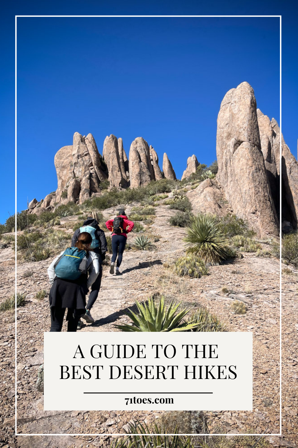
I know I’m completely biased, but hiking in the desert in not what you call overrated. So I’m here today, after many requests, to give you a guide to some good hikes in the desert.
This year, after years of living in the desert, life was so busy leading up to January that I didn’t go hiking at all.
But then, BAM!!
I can’t seem to stop!
It has been hiking galore around here.

Here we go.
A guide to the best hikes in Phoenix
**Please note that I’m not giving directions to the trailheads of these hikes because you can just put the title in your google maps and it will take you right there. Also, please check out “All Trails” if you haven’t because it’s an amazing hiking app that will guide you with reviews to trails all over creation (not just in the desert), and it has directions to every hike as well. Just put the name of the hike you want in the search bar….or even the state or country you want to hike in.**
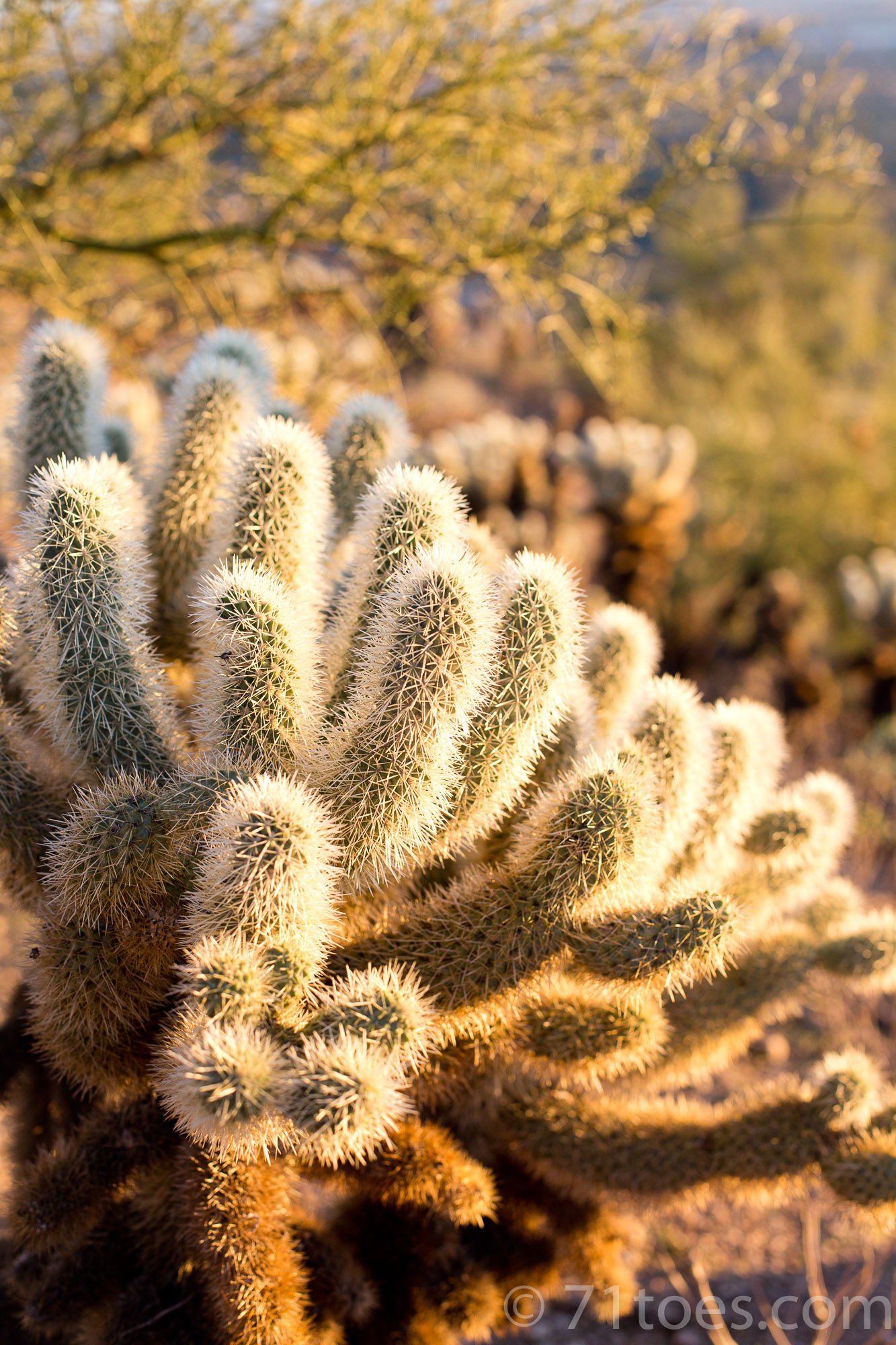
Please remember there is little shade in the desert, be sure to bring lots of water and sun screen. Stay safe! xoxo
Here are our tried and true favorites:
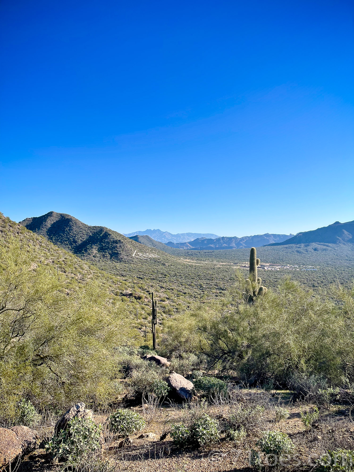
Usery Mountain South Summit
This one is quick and ranked “moderate” but I’d say “easy-moderate” (it’s only 1.9 miles in and out with an 836 foot elevation gain).
I’ve done it quite a few times lately because it’s so close and quick, which means it actually happens:
It is, alas, the spot where poor Bo Jangles got attacked by a cactus and we had to do a little emergency extraction session at the top (more about that HERE).
But I still think it merits five stars from me!
Lots more about this hike on All Trails over HERE.
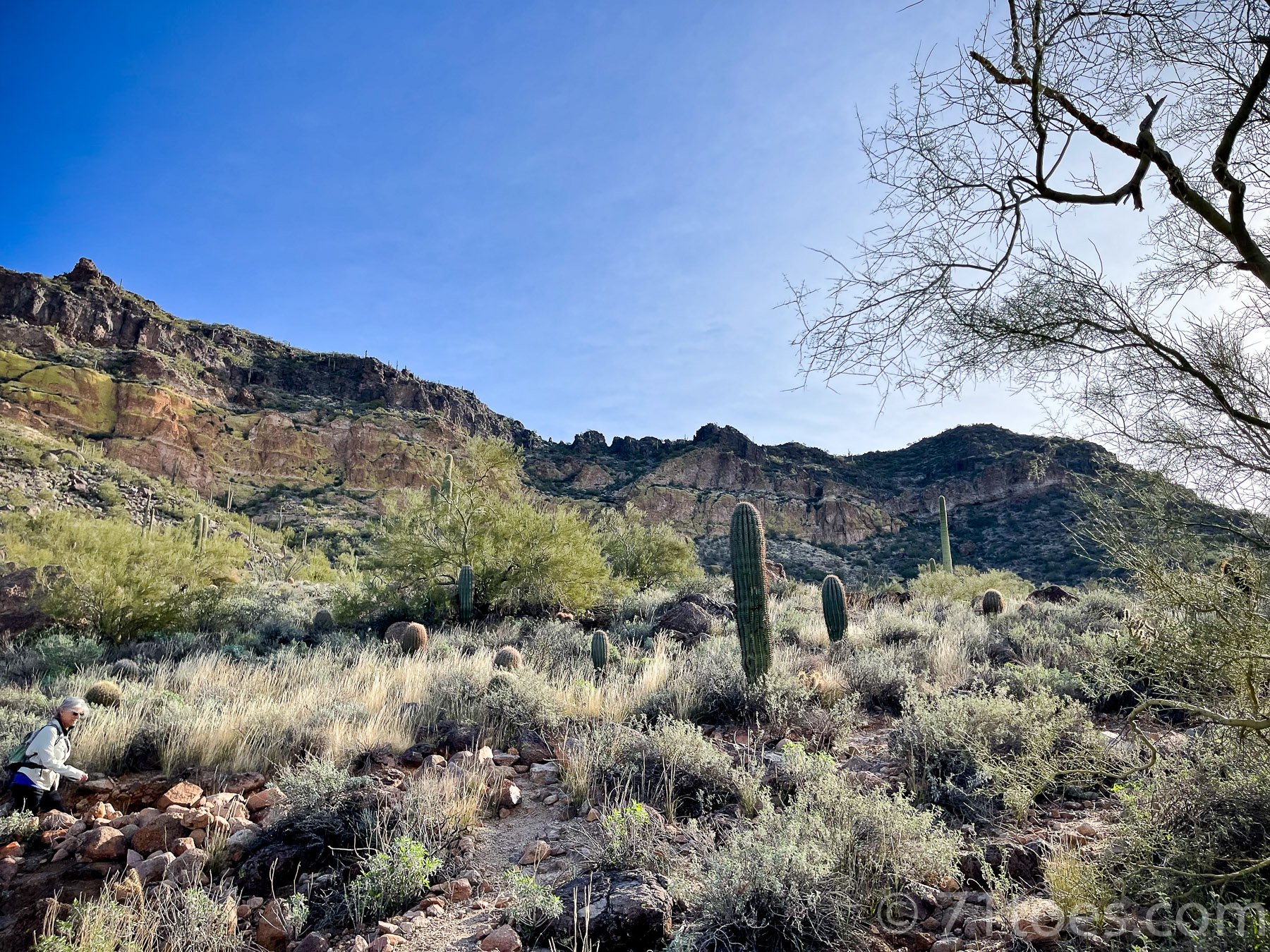
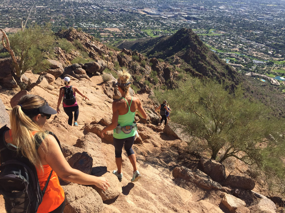
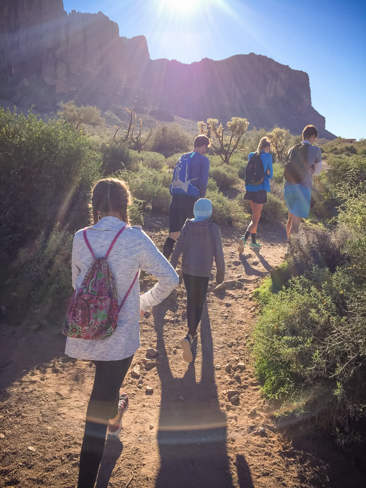
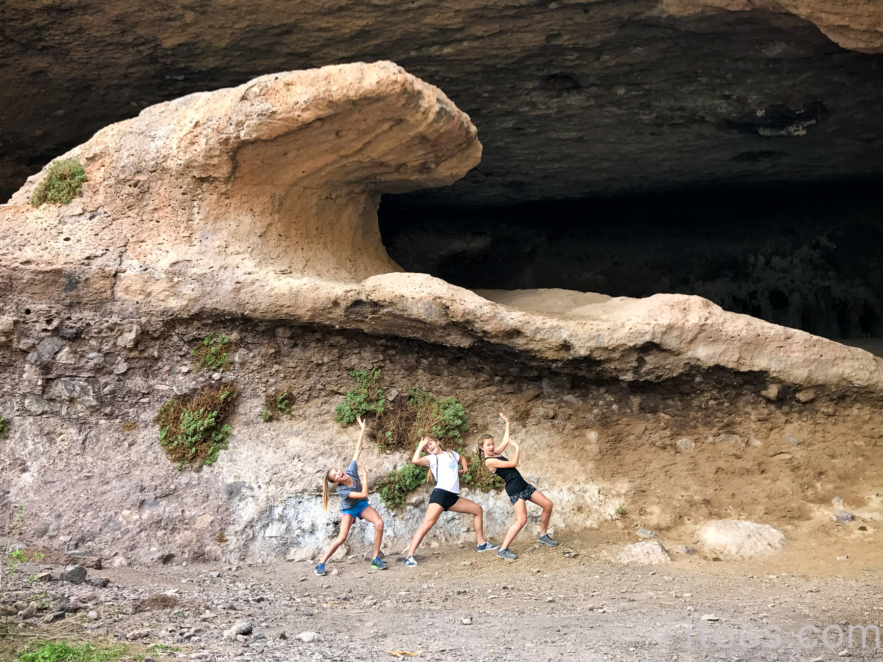
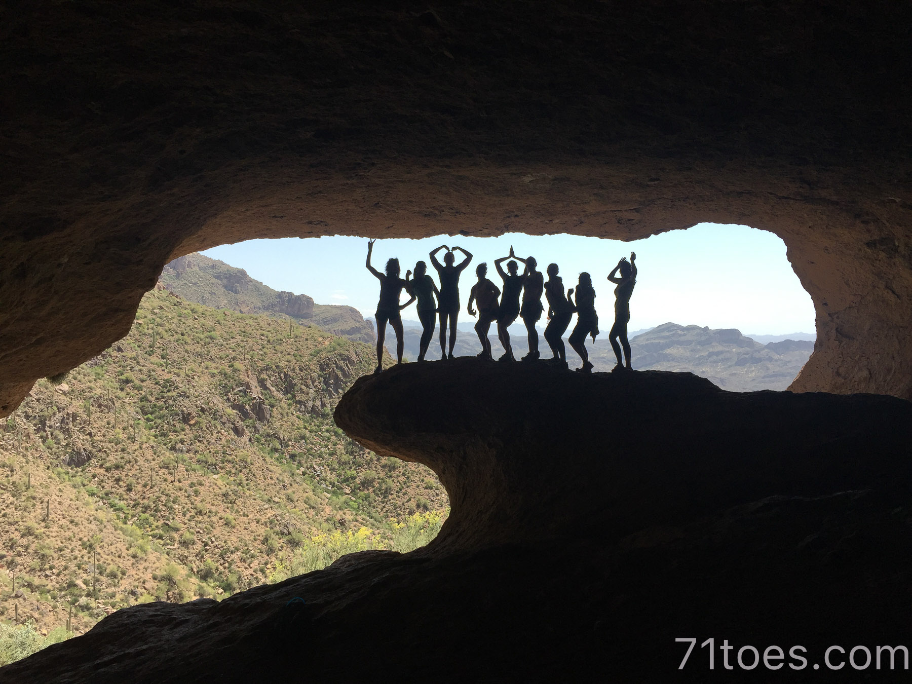
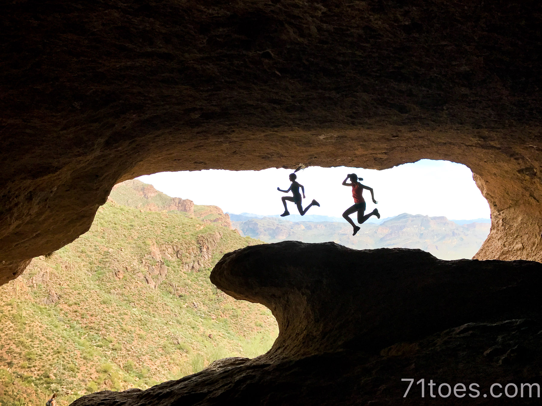
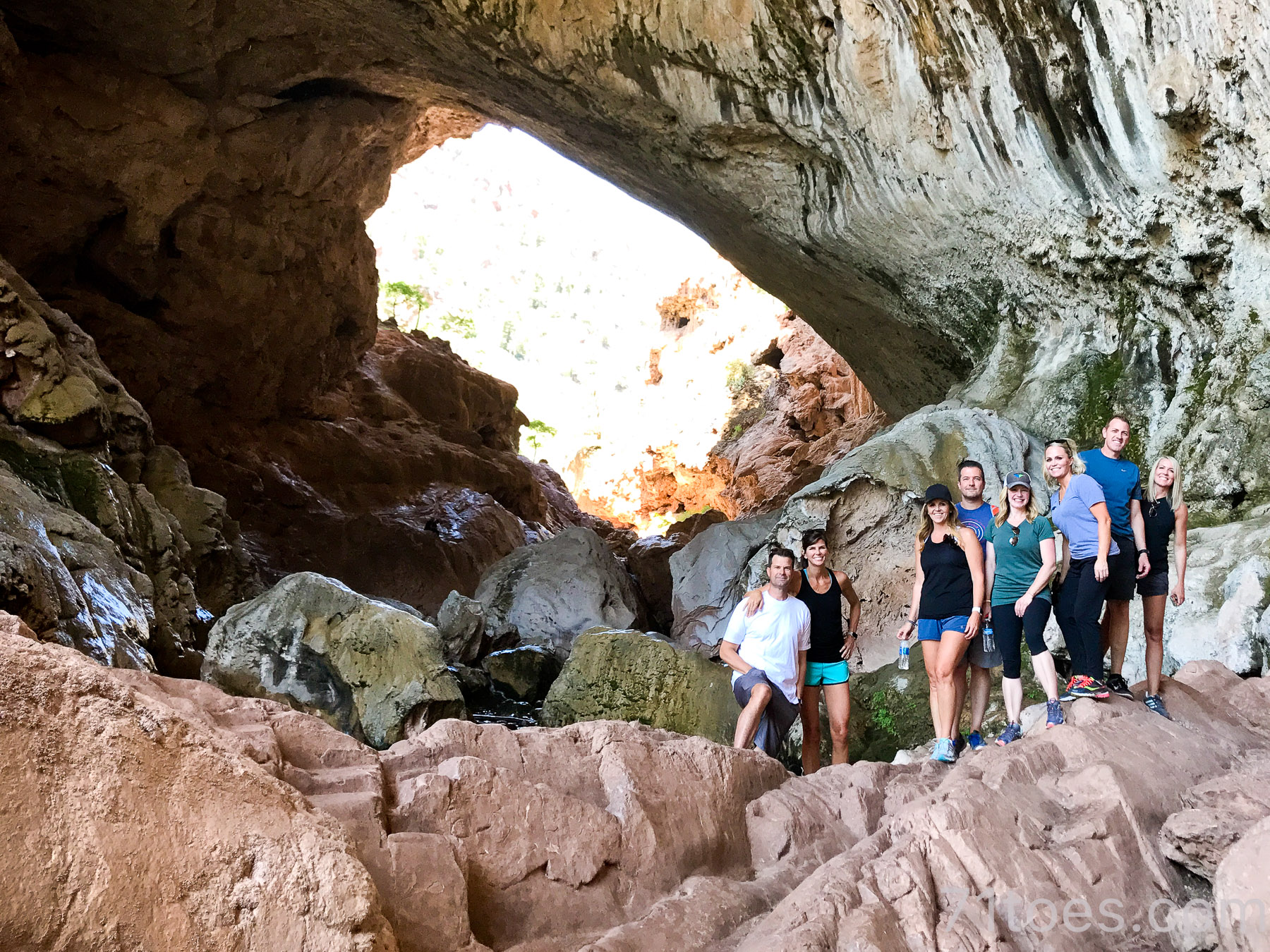
The Wind Caves:
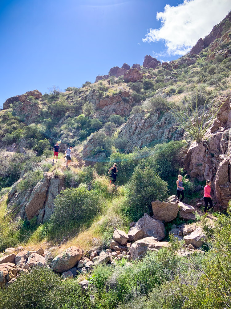
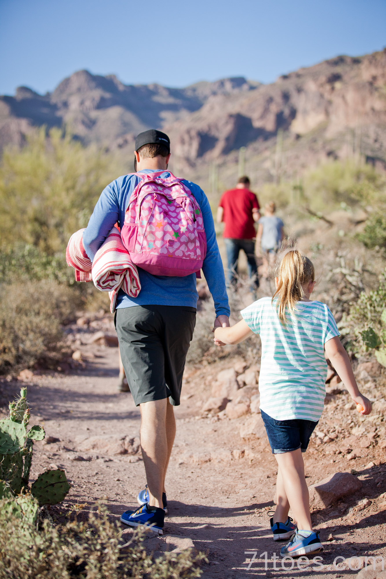
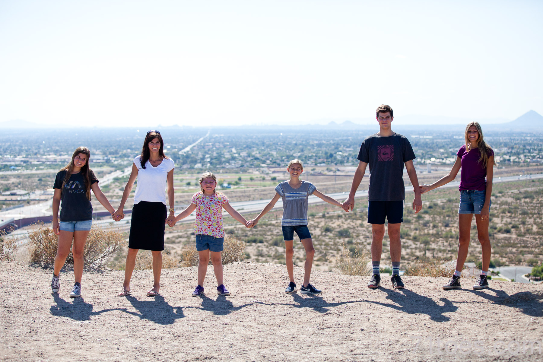
This one is the one we do ALL THE TIME because it’s close and easy. Which means everyone else does it all the time too, so it can be more crowded, but it’s worth it.
Short and heart-pumping, close to home, 2.9 miles out and back. Ranked “moderate.”
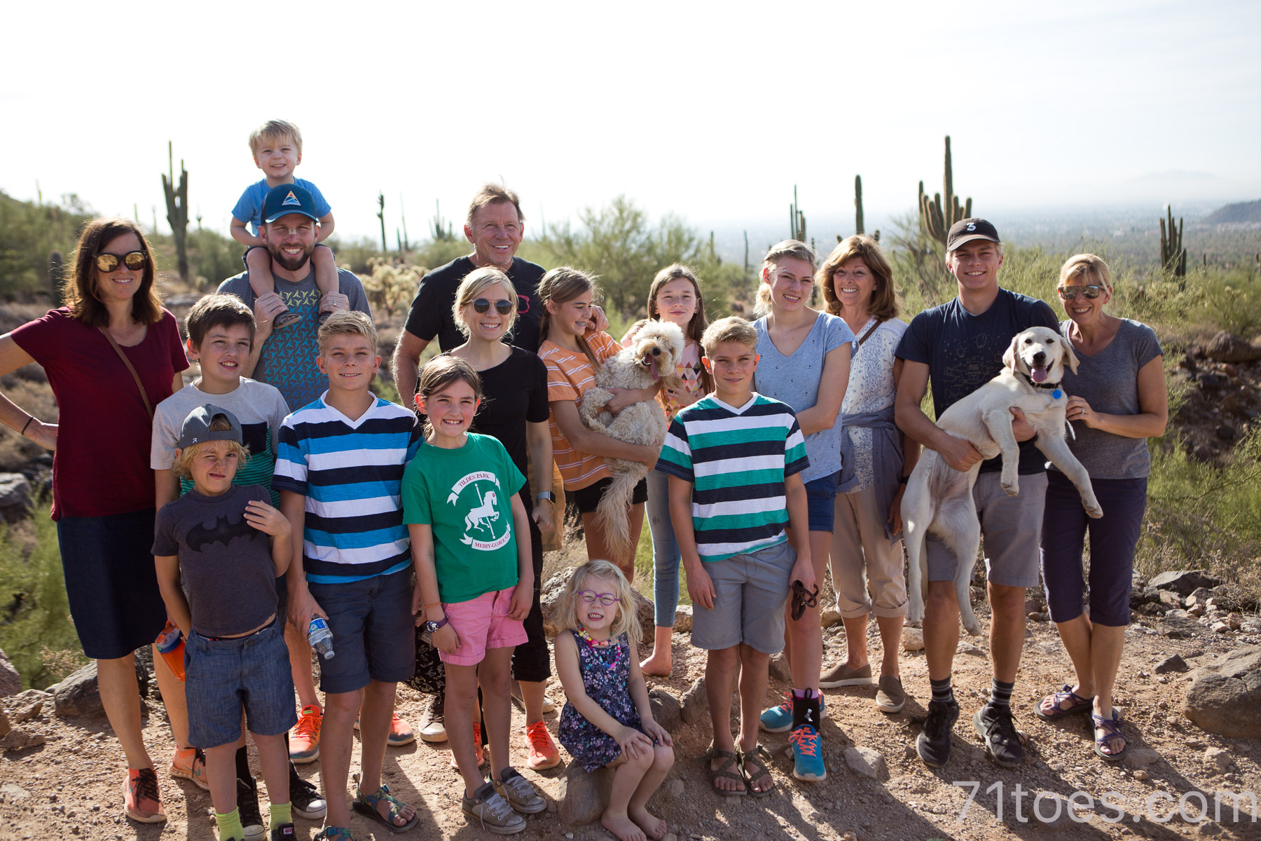
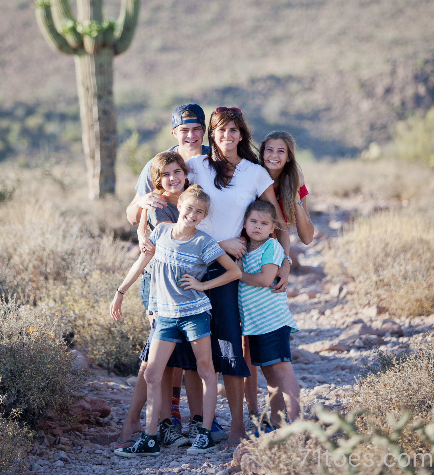
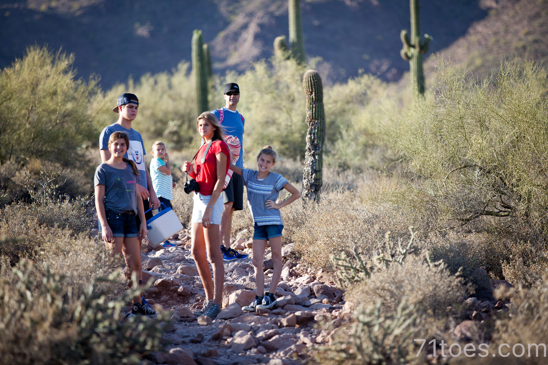
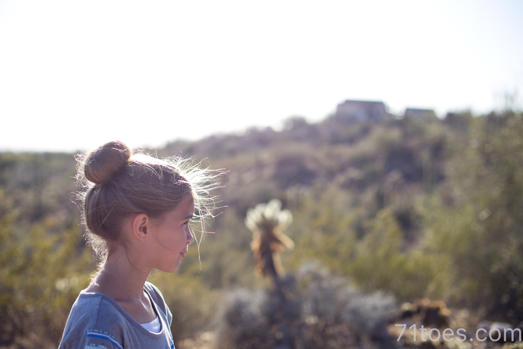
We have done so many times with all these kids in tow:
Dave and I did it a few times while training for hiking the Grand Canyon.
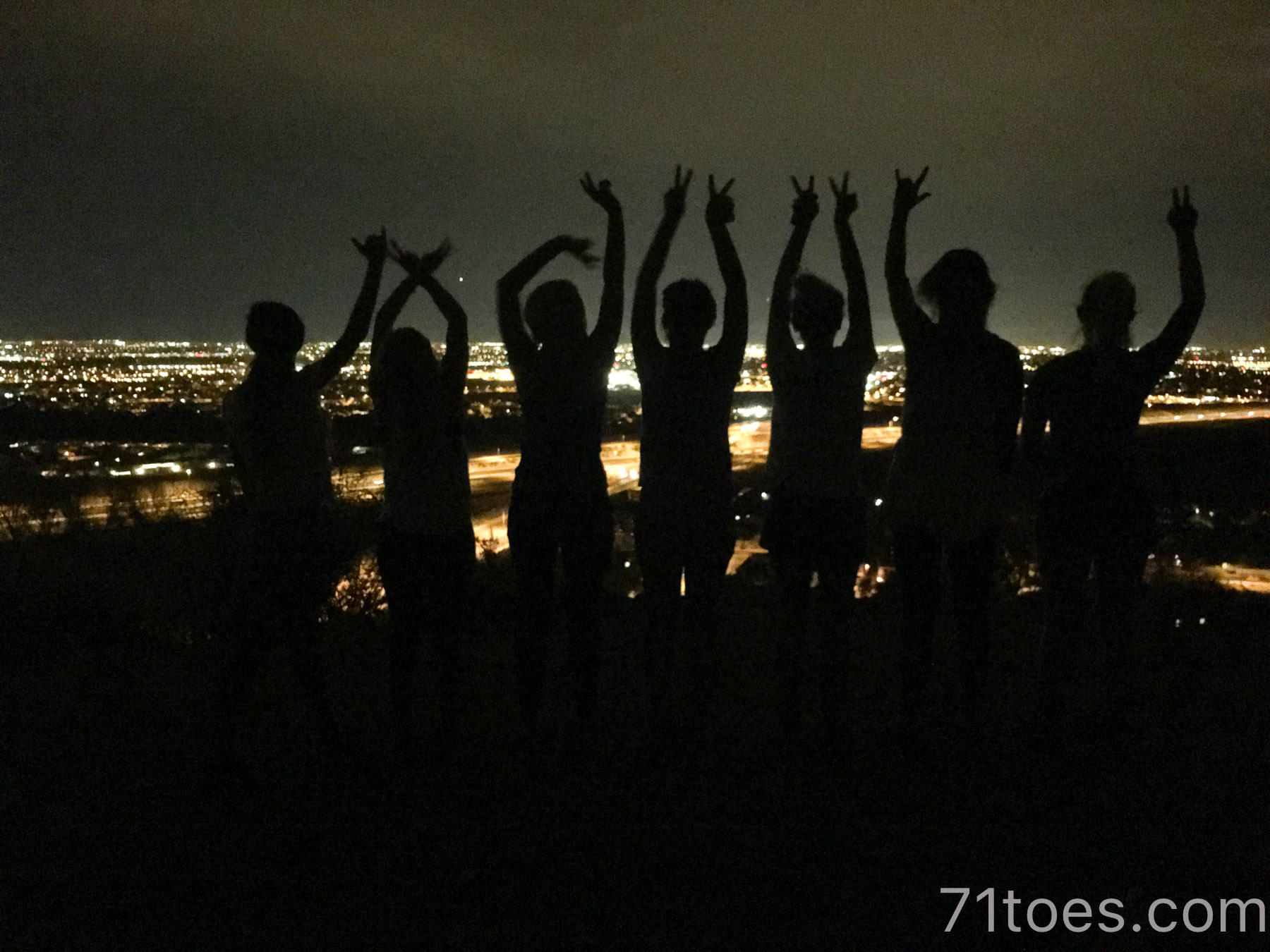
Fun to go with bigger groups:
(That picture above is at the “cave made from wind” at the top where it got its name.)
And it’s easy enough to bring a whole slew of kids (and dogs) along:
More info on the Wind Cave hike on All Trails HERE.
Pass Mountain
I love this hike and for now, all I can find is this picture:
It is a 7.7 mile loop that gives a 1,049 foot elevation gain, and it starts at the same trailhead as the Wind Caves, but it is just a giant loop around the whole mountain and it gives a good hiking push.
We did this a few times in training for the Grand Canyon as well, it’s just a good, solid hike.
All Trails details about Pass Mountain HERE.
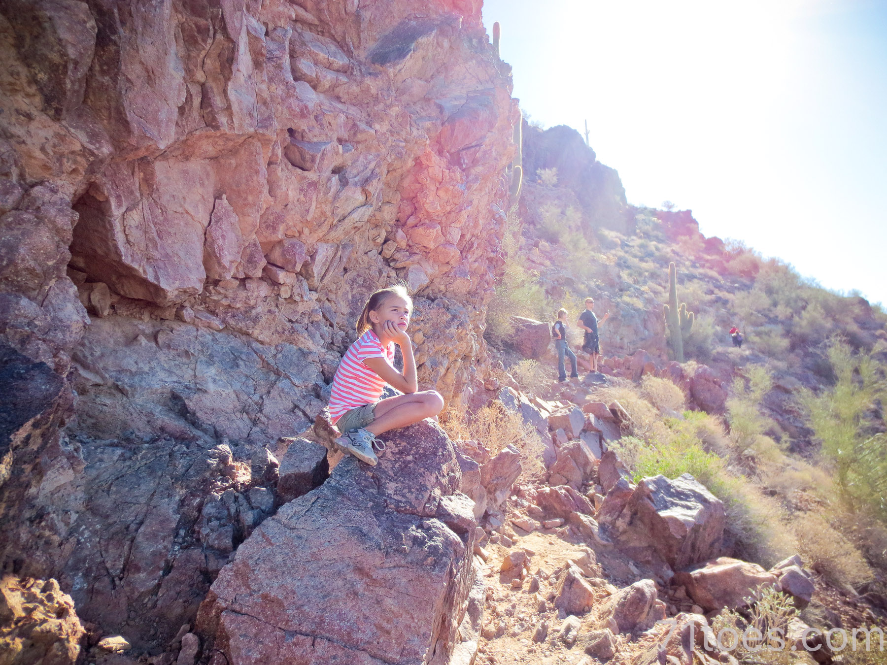
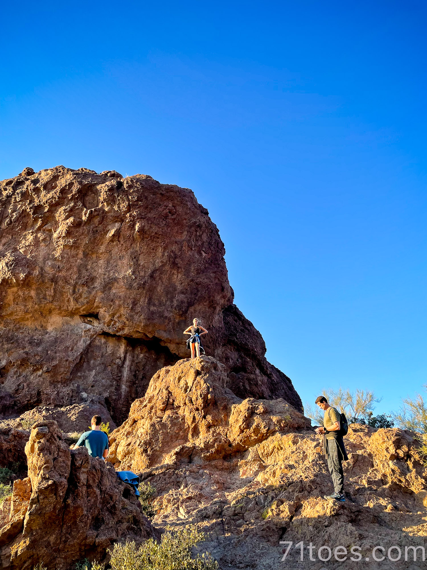
Treasure Loop Trail:
This is the one we just did when the married kids were in town for my bday weekend.
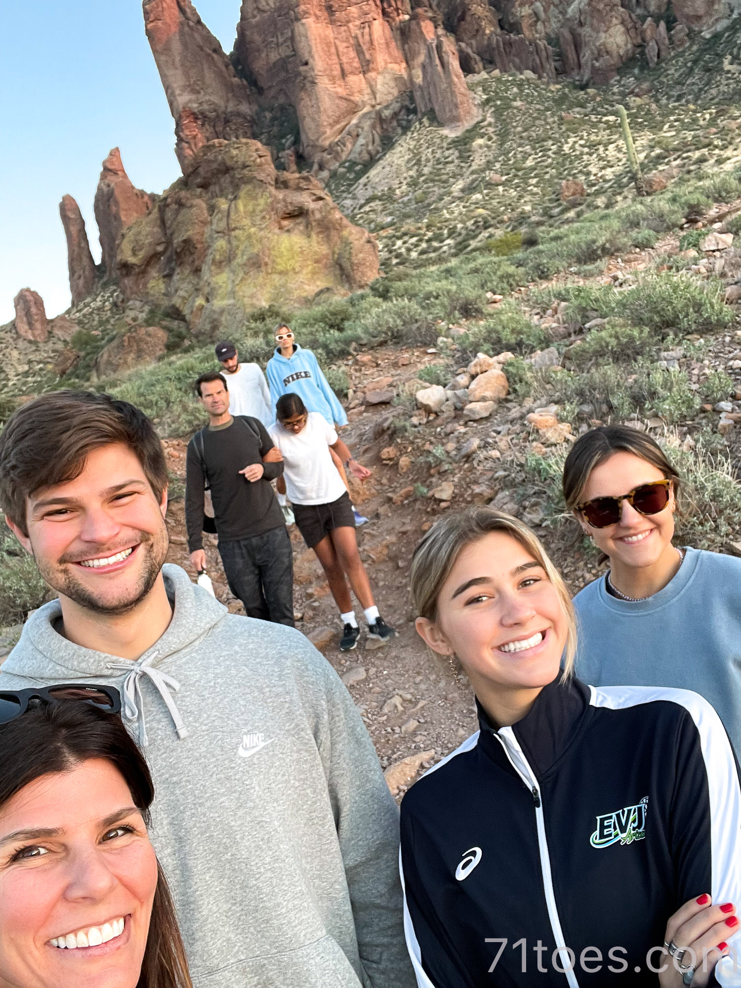
It is a 2.3 mile loop with a 534 foot elevation and ranked “moderate” but we just did the first part this last time. Which makes any length kind of do-able.
It has a special spot in my heart because I accompanied Lu and her whole grade there some time in elementary school, and it made my heart burst watching her sweet friends helping her maneuver the pathway:
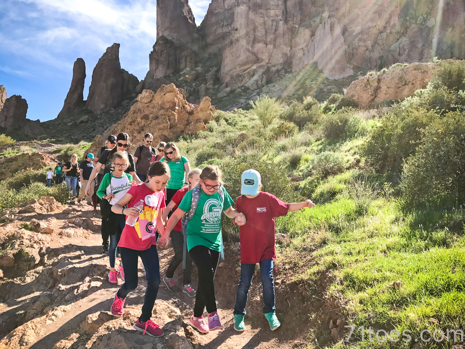
And there are some pretty cool rock formations there.
This one is also cool because it’s close to an old ghost town and an old gold mining village…lots of cool prospector history here.
More details about the Treasure Loop Trail on All Trails over HERE.
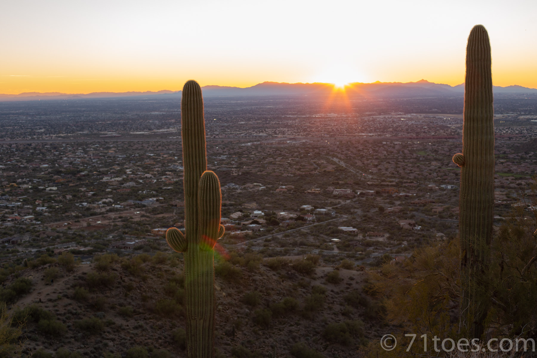
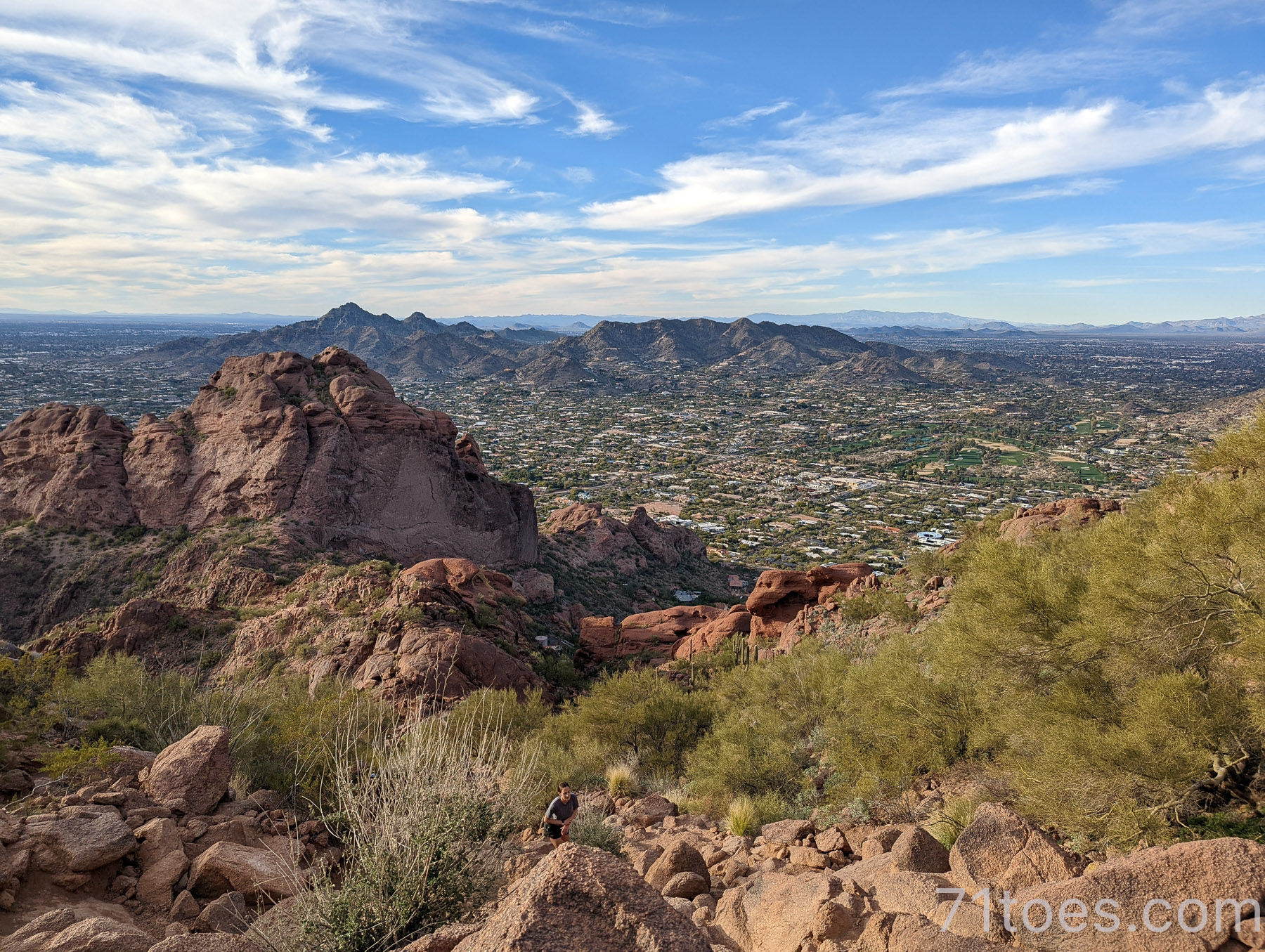
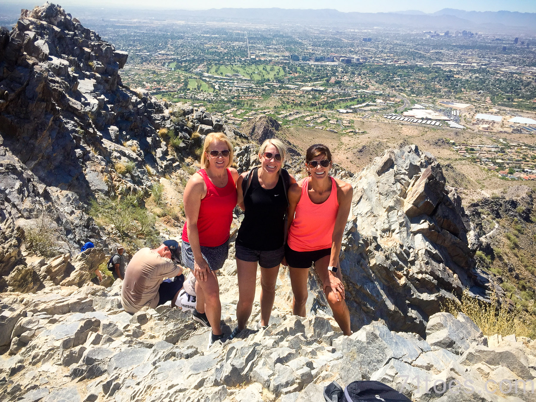
Camelback Mountain:
Ok, this might be the all-time “classic” Phoenix hike.
It is right in the middle of the city (our city landscape is so funny…flat for as far as the eye can see in so many places and then just these lumped up mountains every now and again).
There are two ways you can climb Camelback Mountain:
Echo Trailhead:
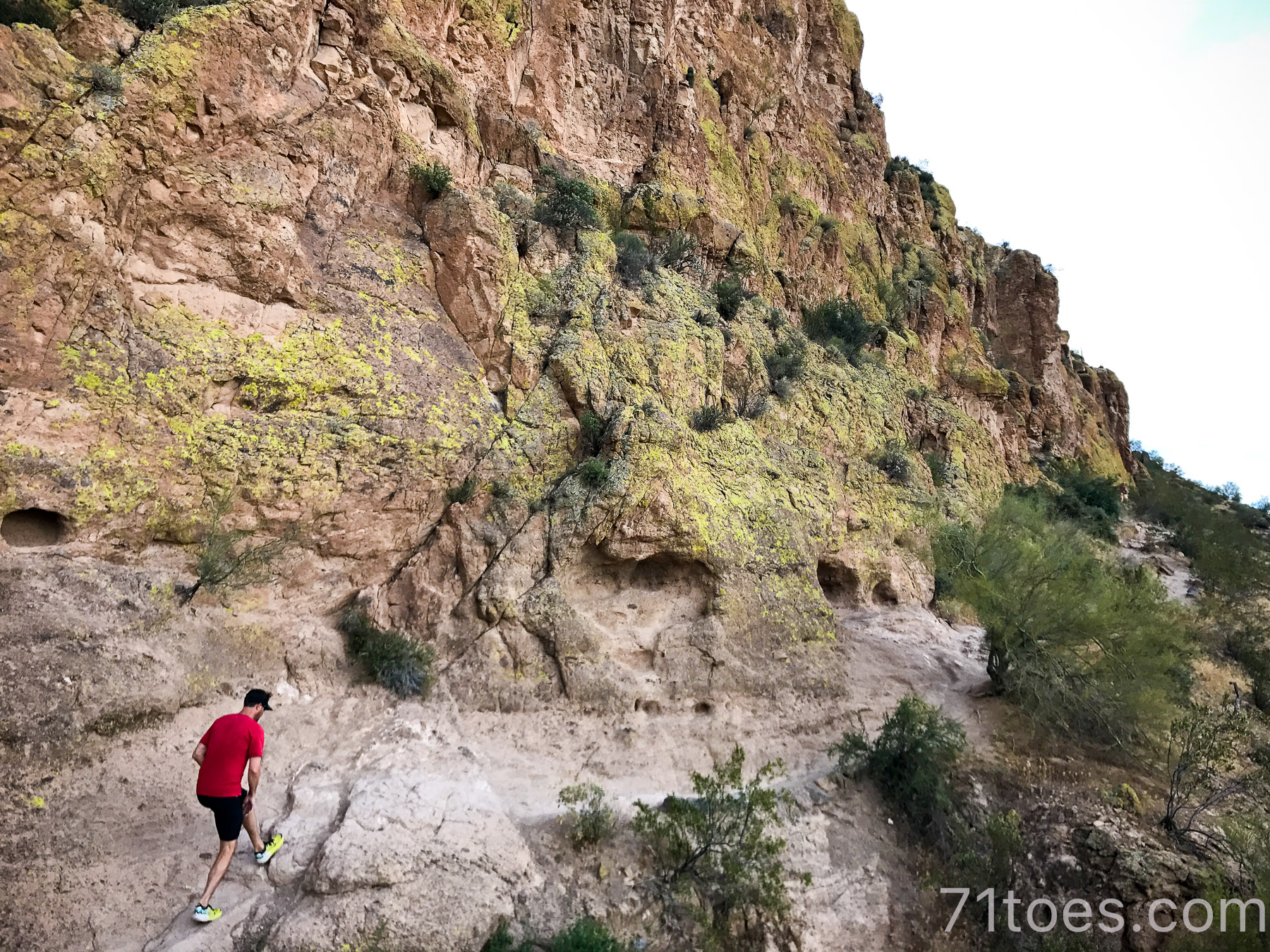
2.5 miles up and down, 1,420 foot elevation and is ranked as “hard.”
Mostly because of climbs like this:
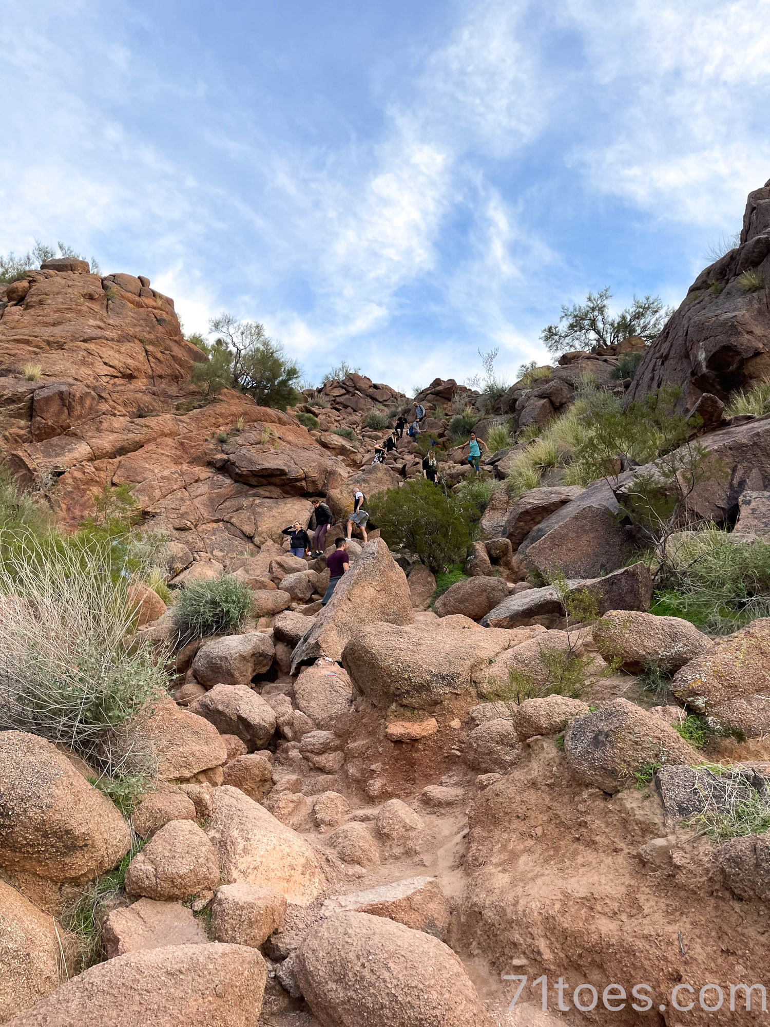
But don’t let that scare you away, it is awesome.
Don’t let this sign at the beginning of the trail scare you away either:
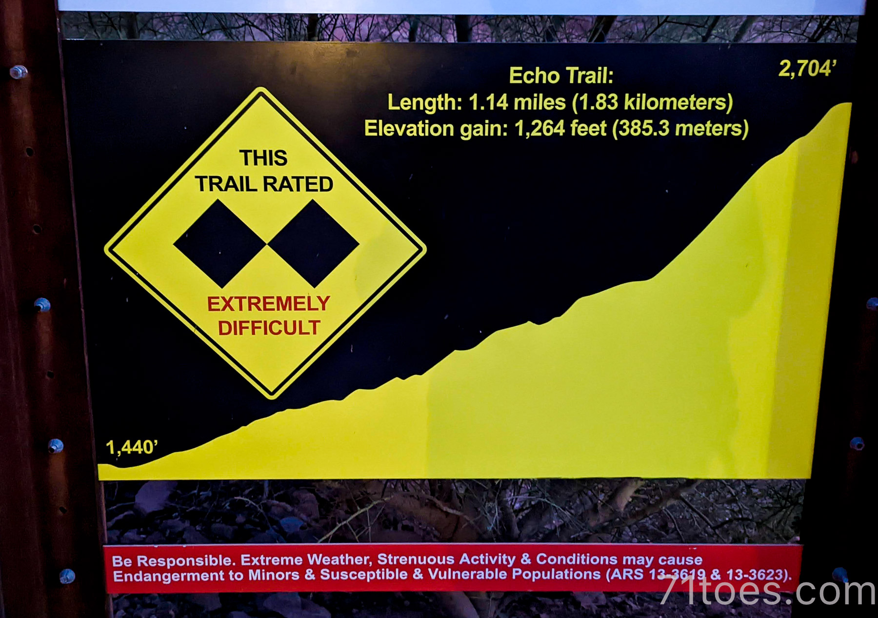
Because it’s a good one, I tell you.
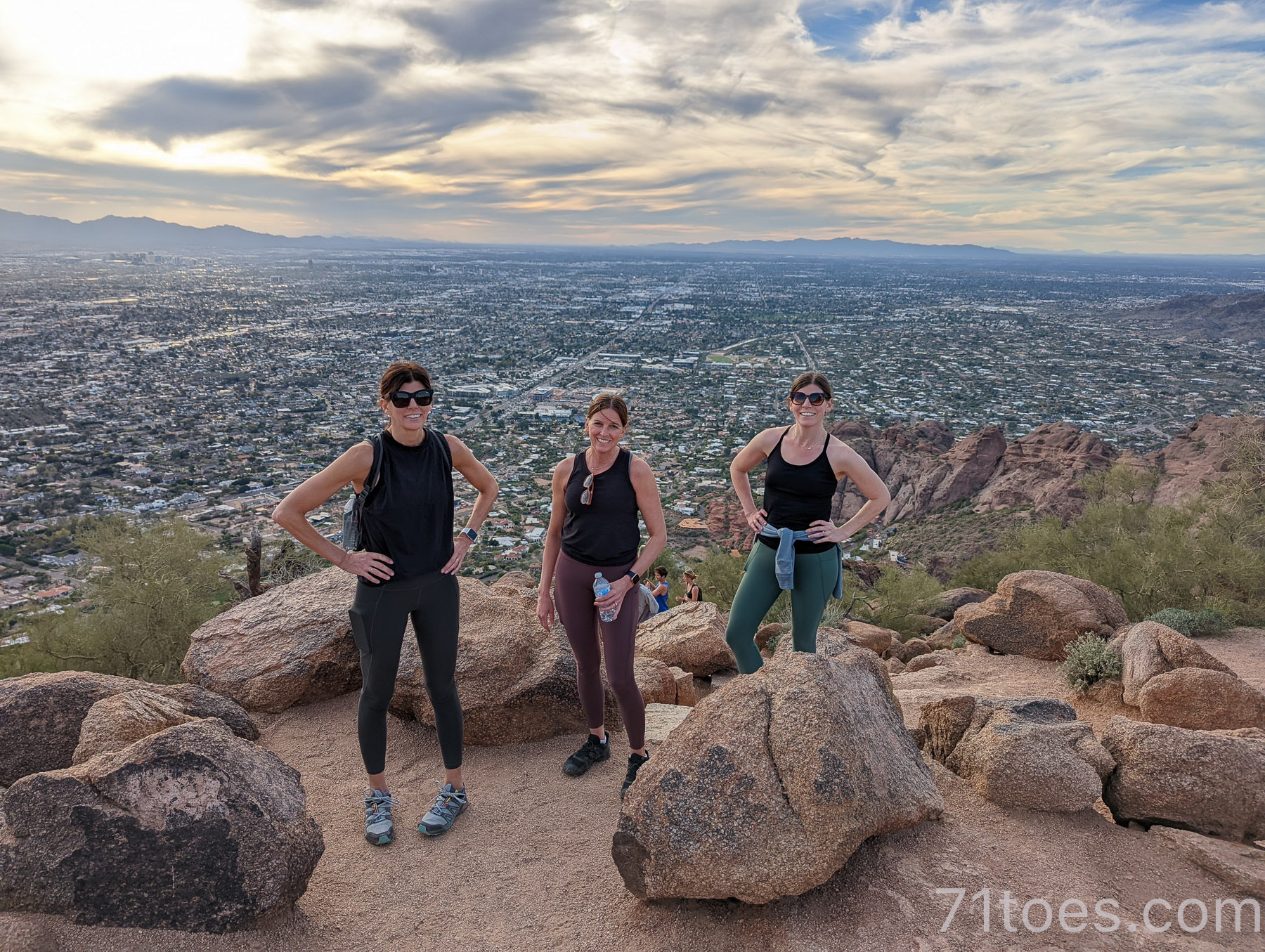
The other way to get up to the summit of Camelback Mountain is from the…
Cholla Trailhead
You start on the other side of the mountain to get to the same spot at the top with a more gradual climb.
But it’s still 2.6 miles out and back with a 1,204 foot elevation gain.
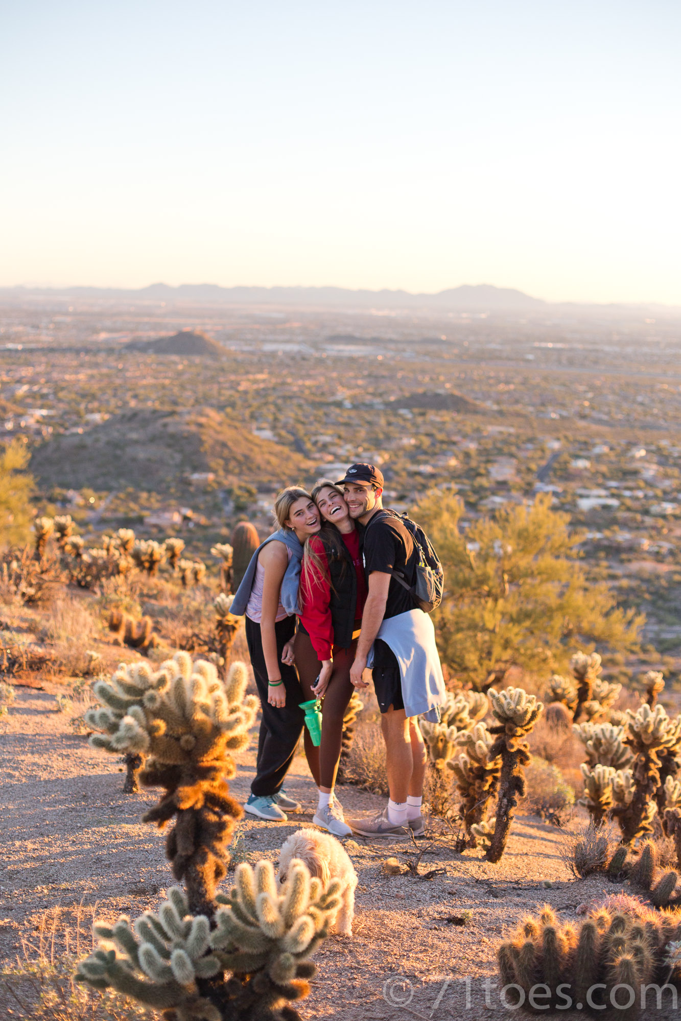
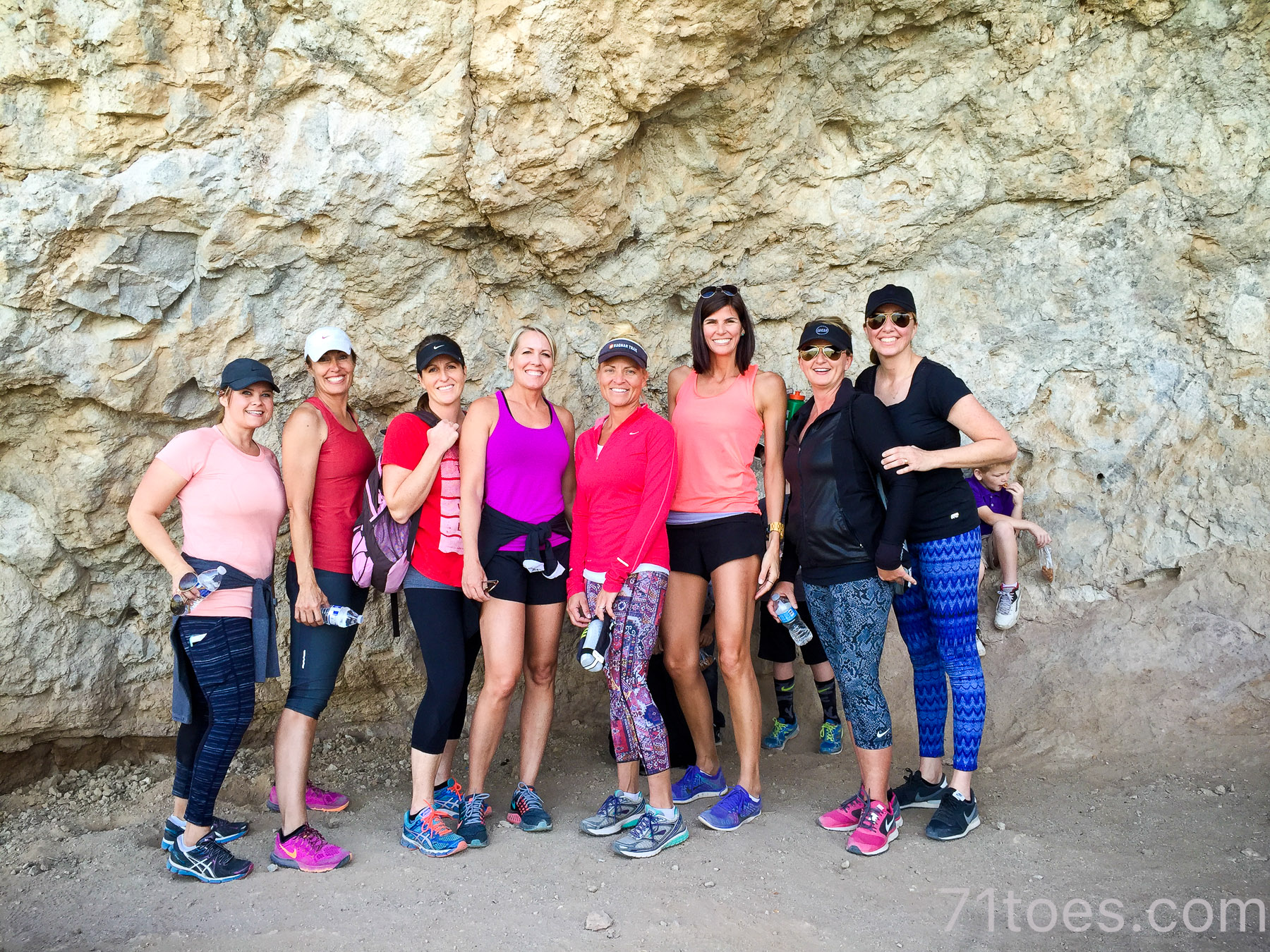
A good one for family:
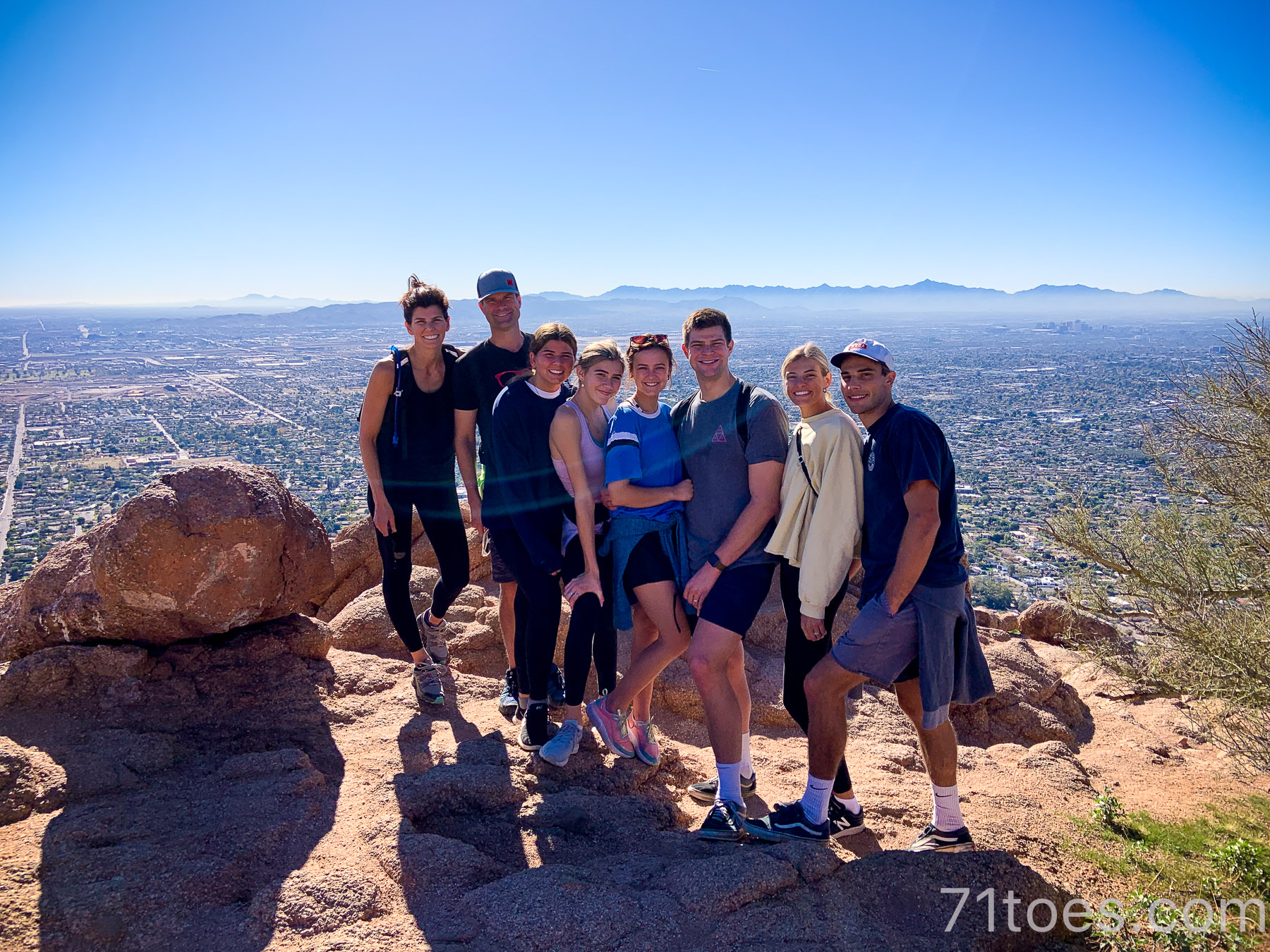
And friends:

(When my college girlfriends all came to town.)
One time I hiked with neighborhood friends and we hiked up the Echo side and down the Cholla side, then went back up Cholla and down Echo.
That was a good hiking day.
More details about Camelback Mountain hikes HERE.
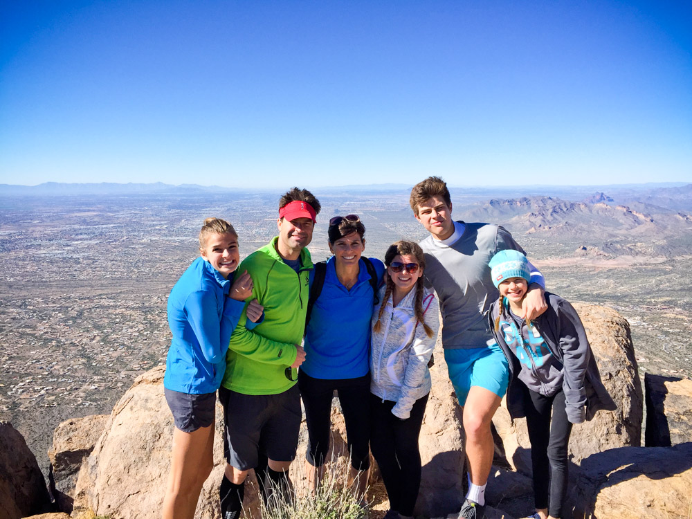
“The” Flat Iron:
I love that this hike is called “THE” Flat Iron.
See the point in the middle of the picture below with baby Grace?
THAT’S where you go. To the tippy top of that thing.
And it sure is a rush to get to the top of that thing!
With all kinds of landscapes in between:
Our car is somewhere waaaaayyyy down there in the distance:
I still remember the day we first hiked this thing, as a family (all except for Lucy), as a family present for my birthday:)
We drove past the little entry toll place, and Elle exclaimed that we were in trouble because she saw a t-shirt in there that said “I conquered Flat Iron.” She knew they don’t make those kinds of t-shirts for a walk in the park!
Ha!
But conquer it we did!! (And still didn’t buy the t-shirt:)
I’ve done this one with my sisters and friends.
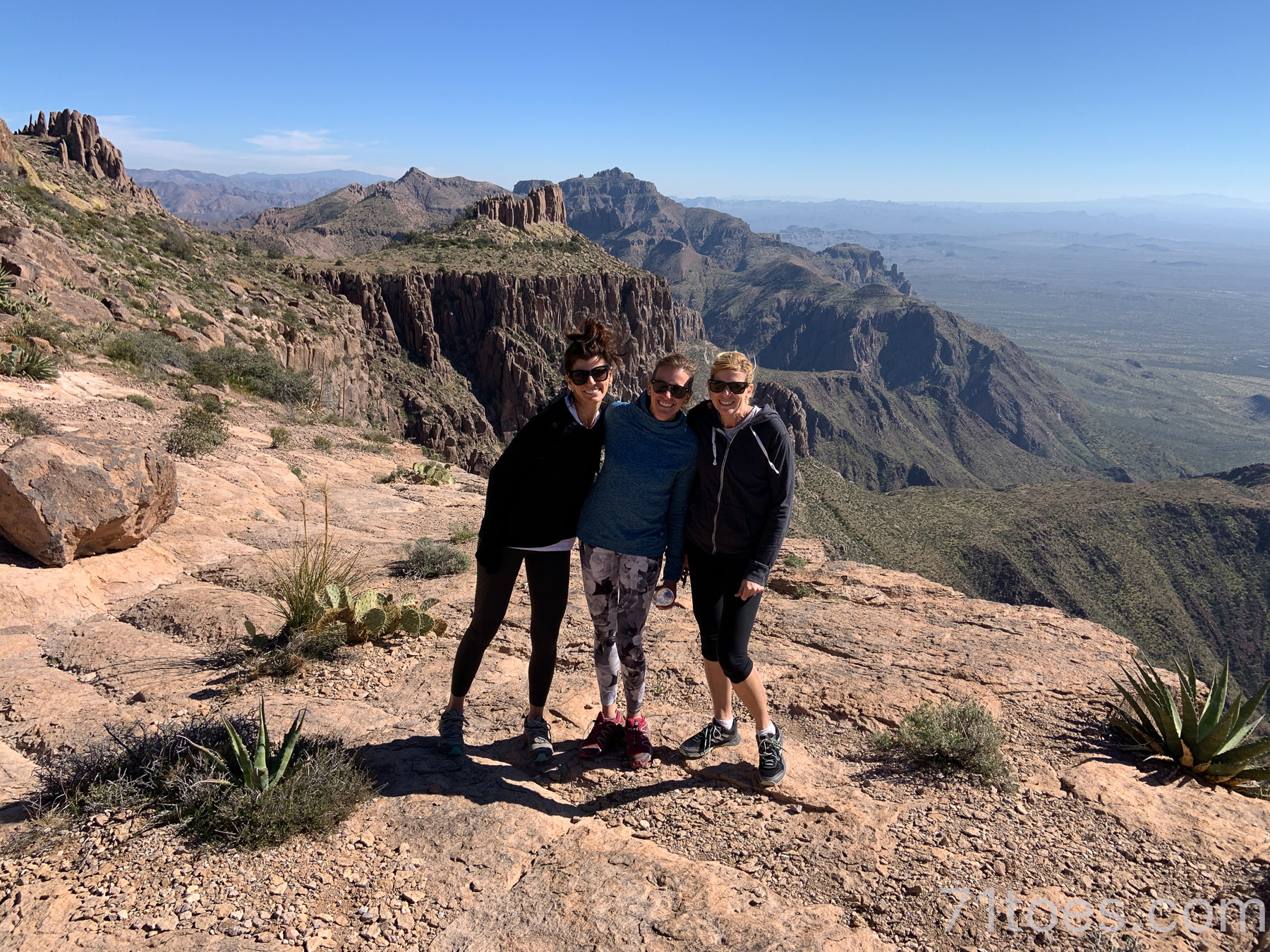
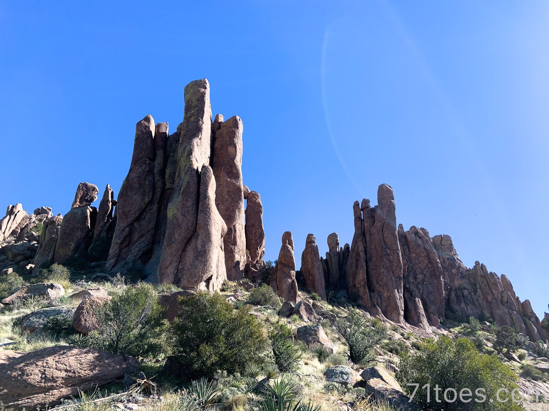
Love these rock formations we explored one time at the top:
I have a friend who hikes Flat Iron every Friday morning and she can get to the top in one hour. Pretty awesome. Also I’ve seen dogs and little kids able to do this thing no problem, which is pretty awesome.
HERE is the All Trails link for Flat Iron.
Massacre Falls
This one only has a waterfall right after it has rained, so don’t let that name fool you!
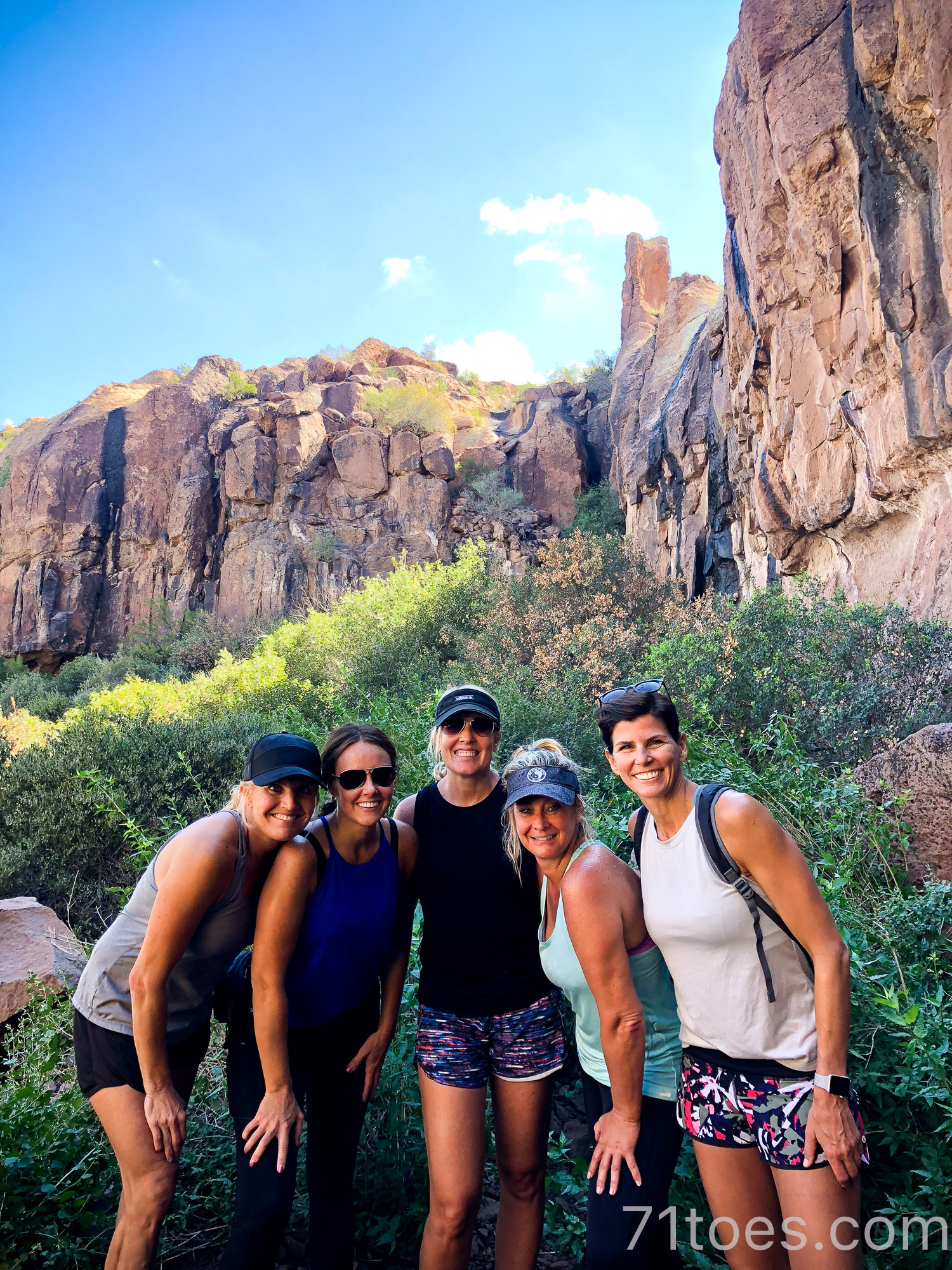
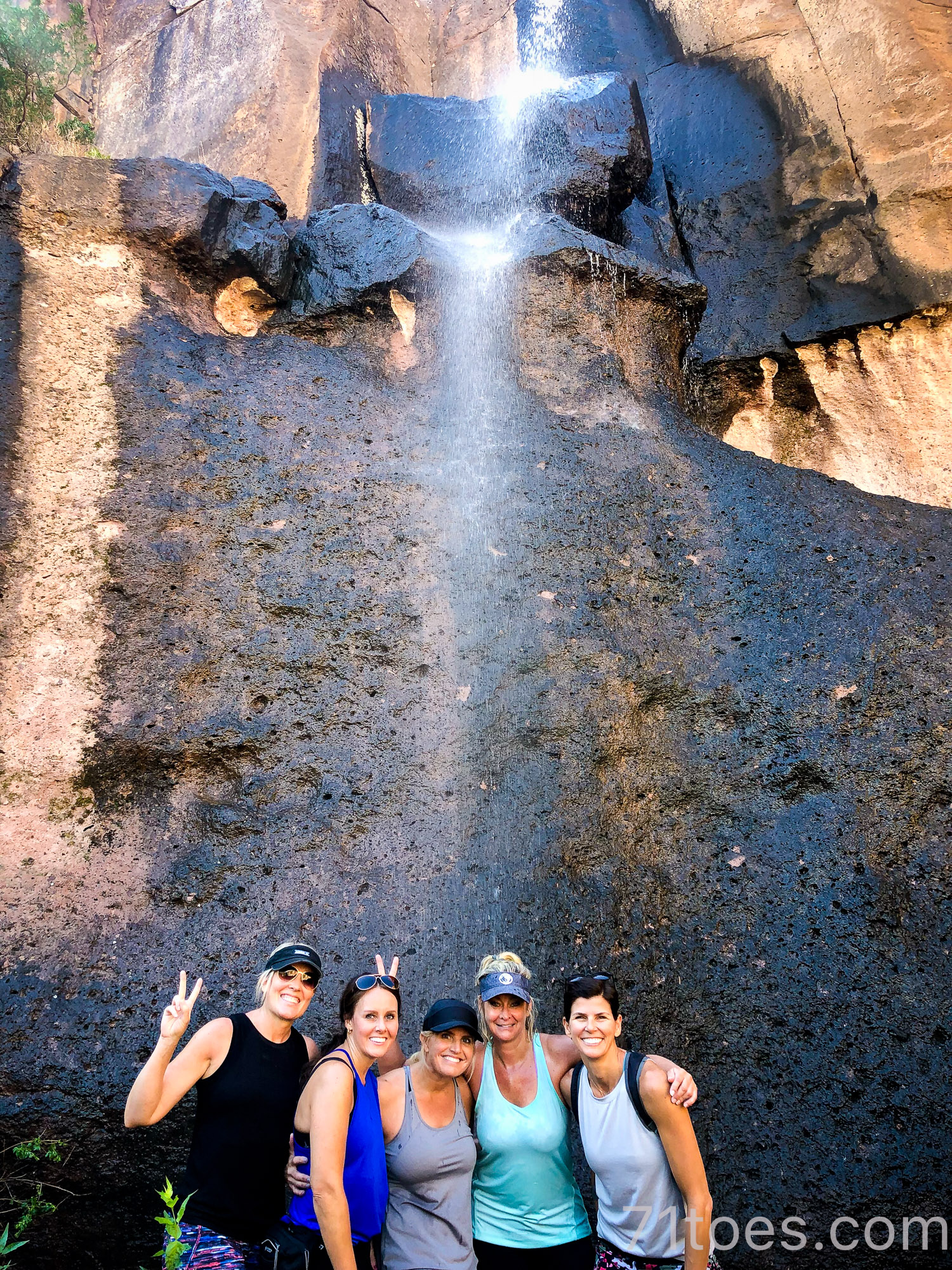
And I’ve only done it once, and we got lost, so definitely download All Trails map HERE before you go.
But how can I resist putting a desert hike on here that boasts a waterfall? (at least some of the time!)
And I know you guys who live in lush landscapes are wondering what in the world I’m calling a “waterfall” in that picture up there…that piddly little sprinkle of water behind us? But hey, this is the desert and we get excited about stuff like that!
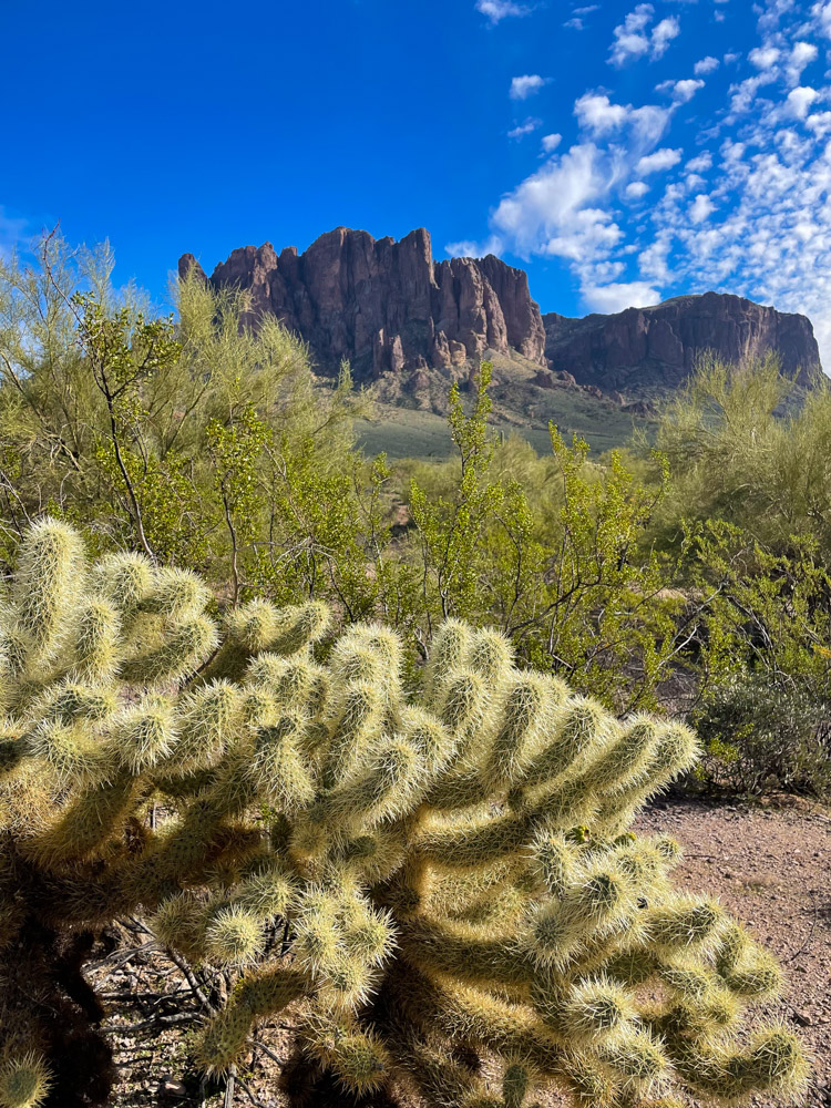
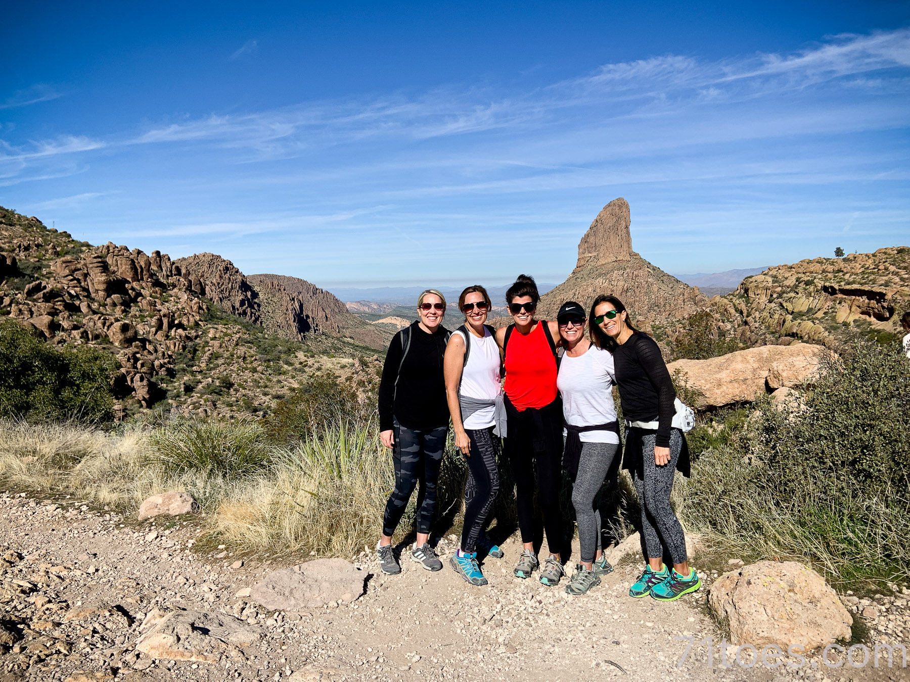
Peralta Trail:
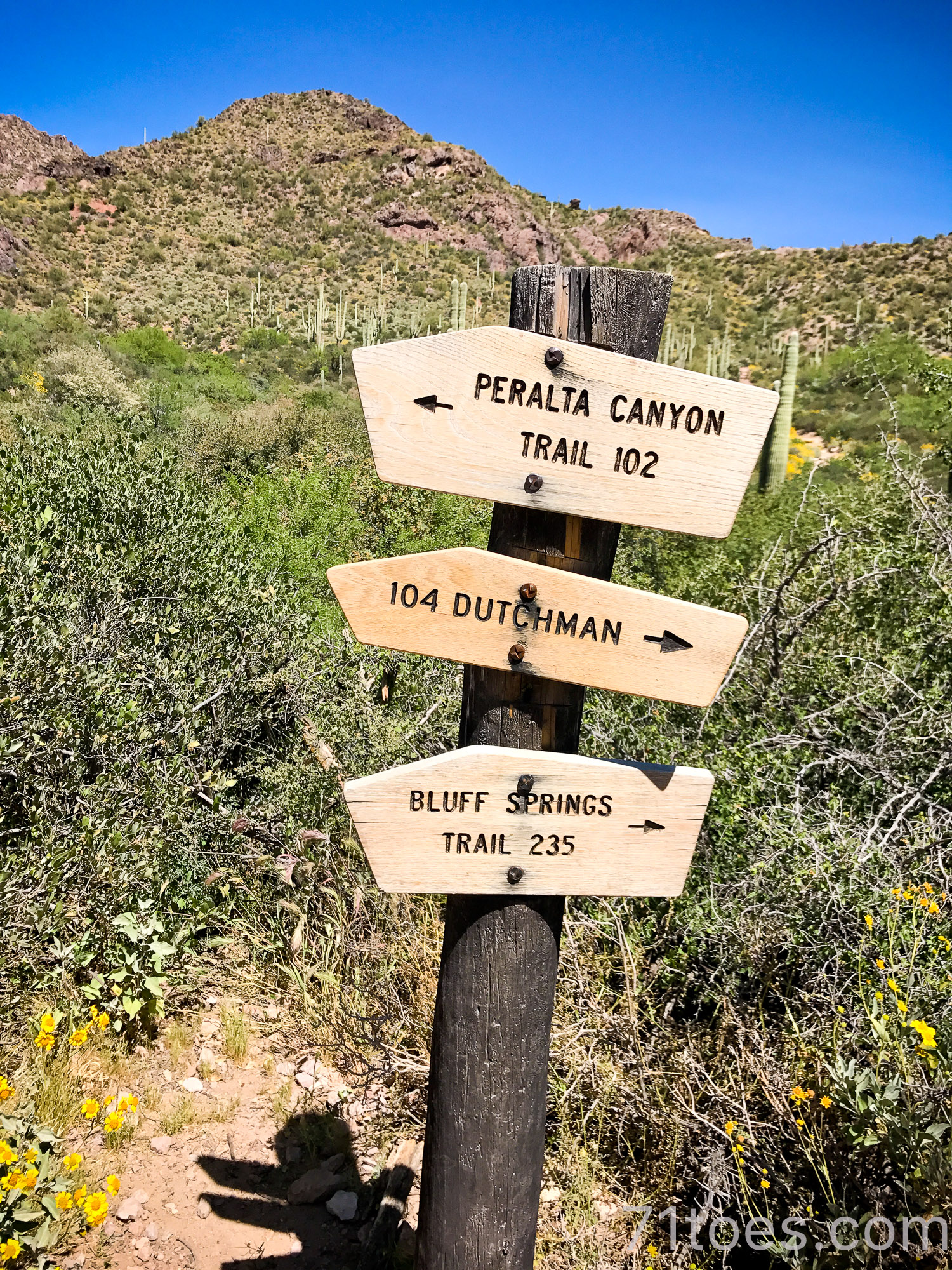
This one is 4.6 miles long with an elevation of 1,341 feet.
And I love that it boasts “Weavers Needle” in the backdrop:
The trailhead is off of a dirt road but All Trails tells you how to find it HERE.
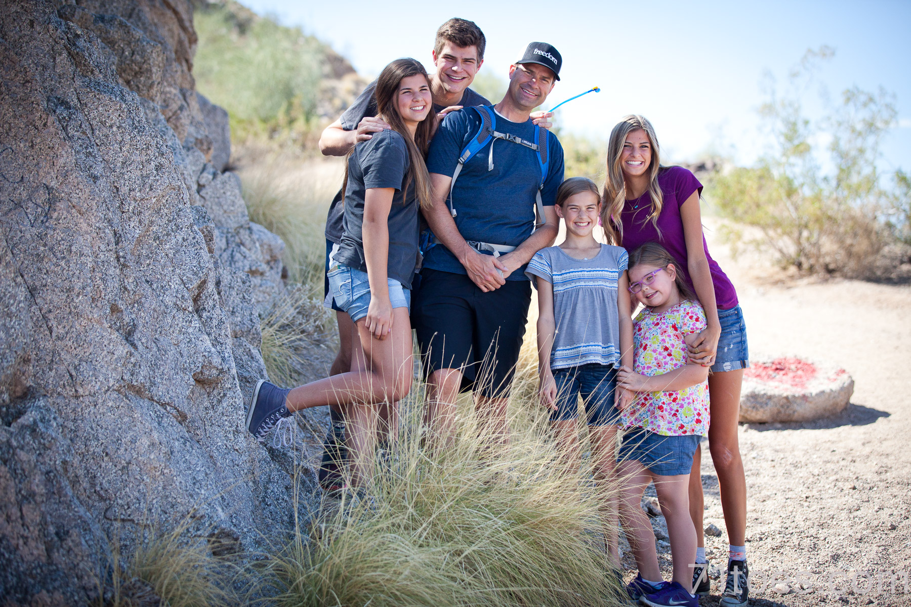
Hieroglyphic Trail
This one is only 2.8 miles and is ranked as “moderate” but I think it’s not all that difficult (only 567 feet elevation gain).
I mean, this motley crew made it for me for Mother’s Day years ago:
We have done this one a few times since and I like it.
Lots of cool rock formations at the end that the kids loved climbing up and around on:
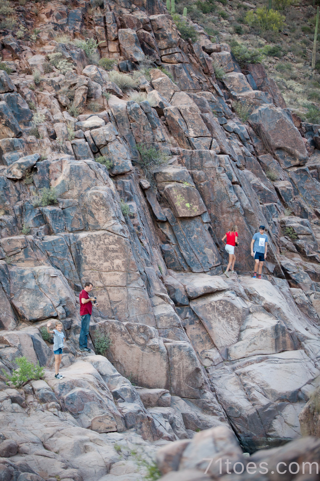
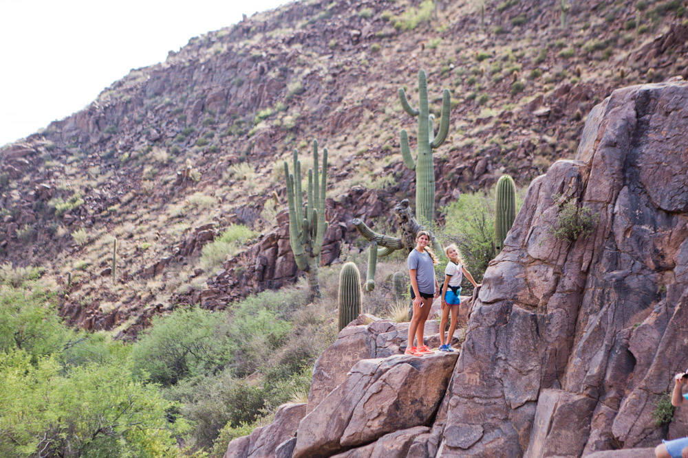
One time we went after a rain and there was a little pool at the top.
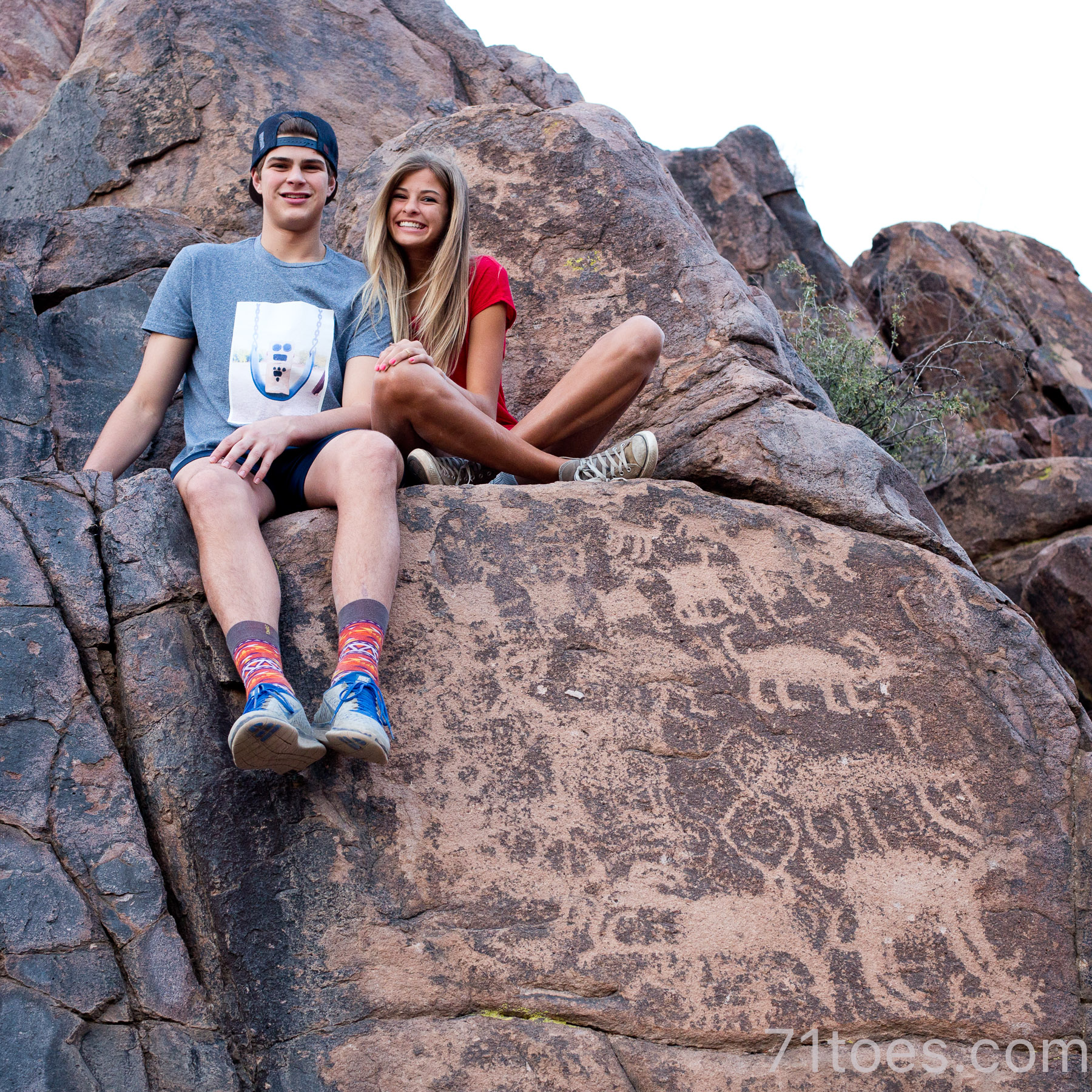
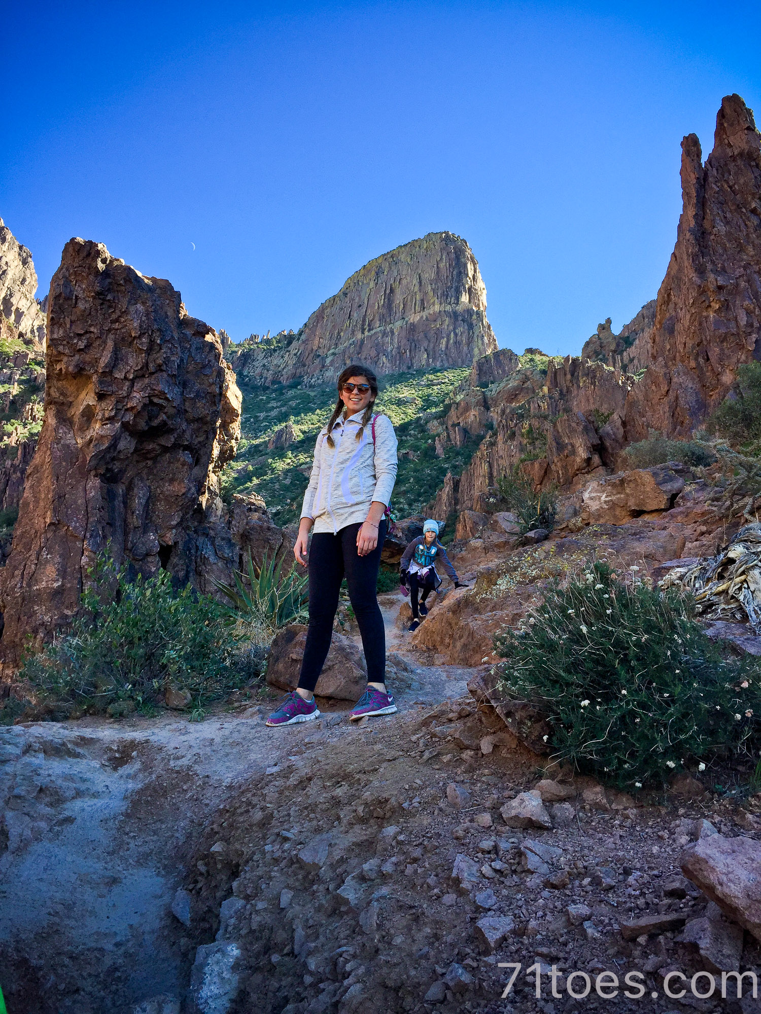
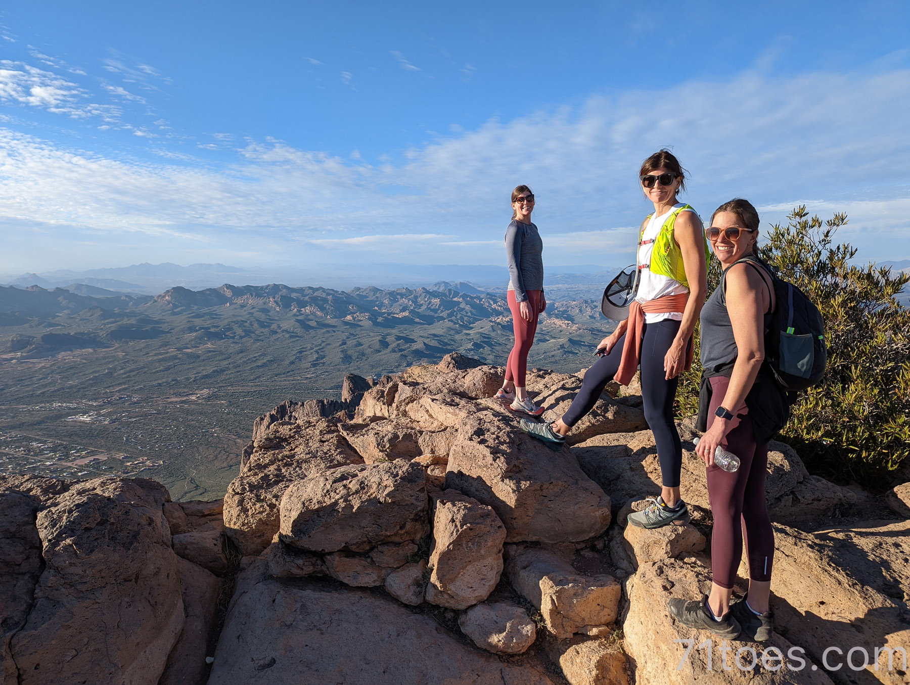
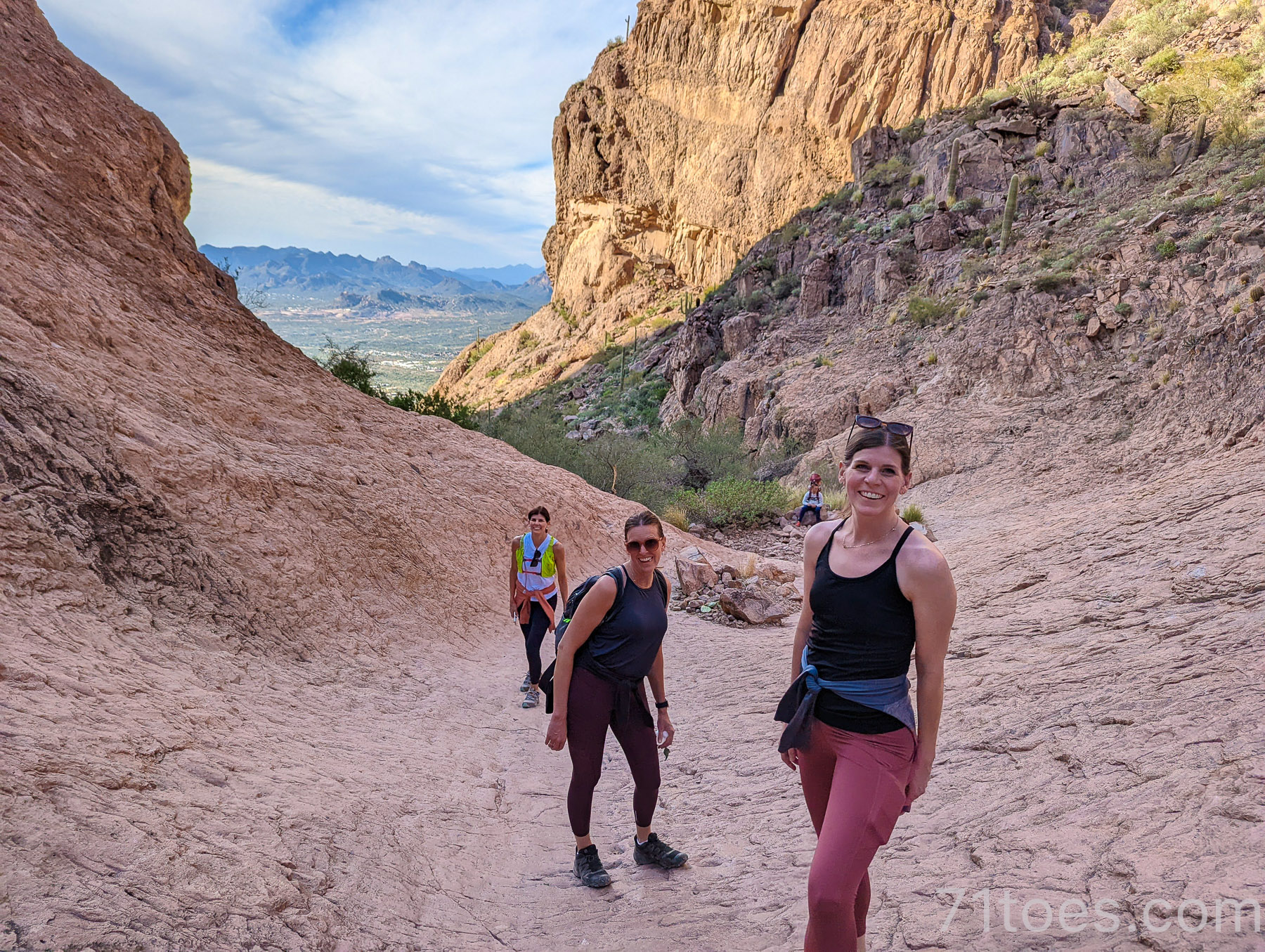
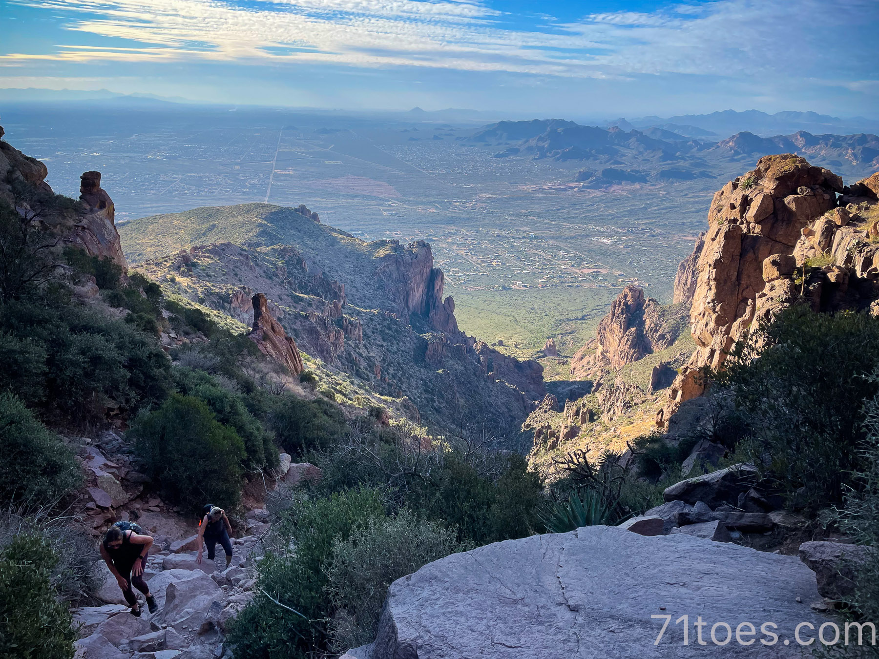
If you’re really adventurous, you can follow past the rock formations at the top and link into all kinds of other Superstition Mountain trails, like the Superstition Ridgeline I wrote about yesterday.
More information on the Hieroglyphics Trail over HERE.
Brown Road Hill (or Microwave Mountain)
If you want pretty easy-peasy, this is another super short, kid-friendly hike.
Actually, I really don’t think you could call it a real “hike,” because it’s more like a “hill” as it says in the title, but good one for Lucy’s speed back in the day when she could navigate a little better.
It is 0.9 miles up and back and has an elevation of 288 feet.
A good view for a Mother’s Day hike.
We’ve done this one with youth in our church congregation.
And Elle’s friends lugged some milk and cereal up there one time to have a nighttime picnic at the top.
Funny kids.
The Wave Cave:
(Not to be confused with the “Wind Cave.”)
This one is a 3.0 mile loop and is ranked “hard,” but when it’s pretty short, it doesn’t seem that tough.
This one is a “fan favorite” as well.
It is a steep uphill climb (up 869 feet) to this cool formation:
And you get this view from the inside which I think is pretty cool.
More detailed Wave Cave information over HERE.
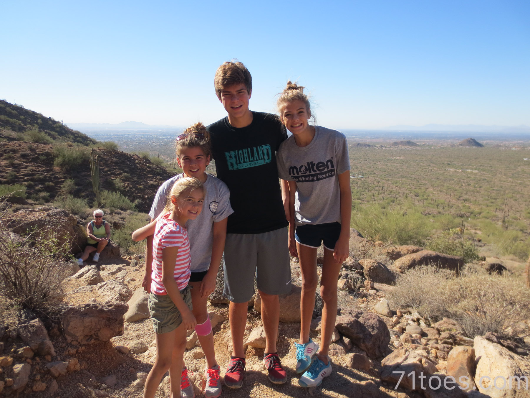
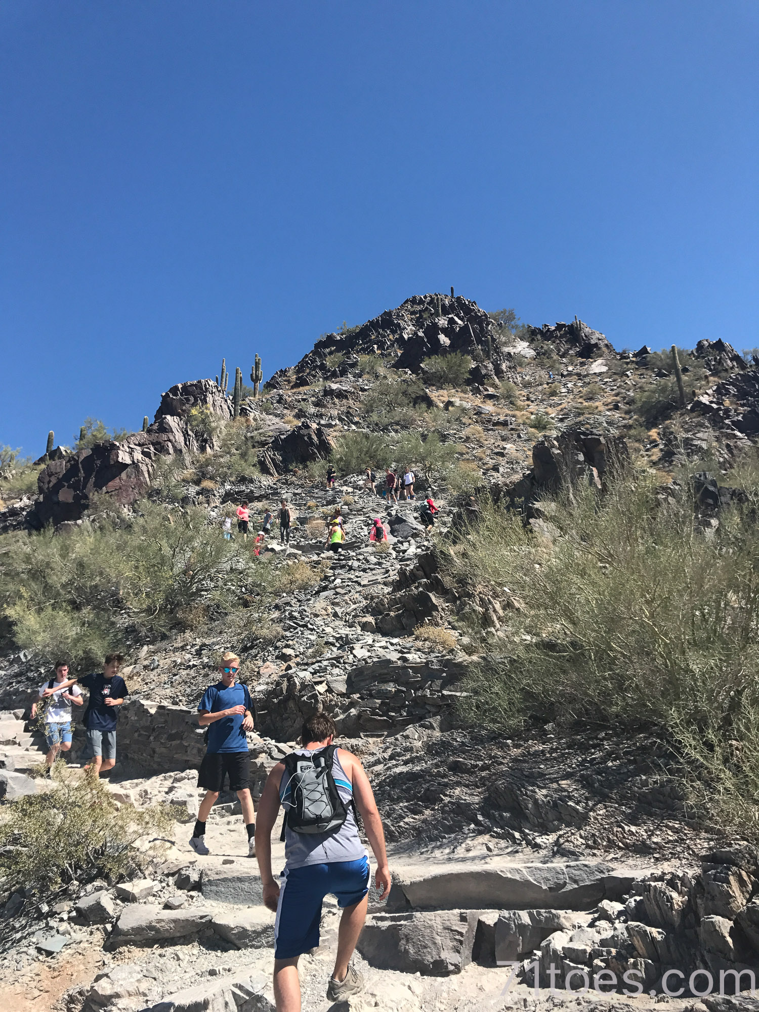
Piestewa Peak:
This one is 2.1 miles for a 1,148 foot elevation and it’s right by the airport which makes it nice if people are just in Phoenix.
I’ve done it with a few different groups of people and it’s always a good leg burner.
I mean, if you ever have a hankering for feeling like you’re walking up hundreds of flights of stairs in the tallest skyscraper, this is your hike. Ha!
There are SO many other cool hikes in the area, but these are our favorites.
Also, I better include these:
Hikes outside the Phoenix area:
Tonto Natural Bridge
They say this is the largest natural travertine bridge in the whole world and it’s an easy hike in and out…and through if you want to do that.
Kind of just a fun area to explore if you’re in the Phoenix area. I wrote about our visits there HERE and HERE.
Lots more information HERE.
And then we can’t forget this:
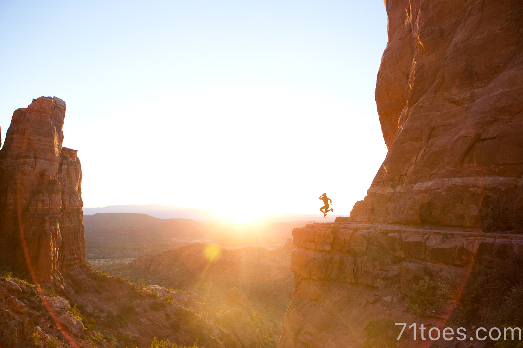
A Guide to Hikes in SEDONA:
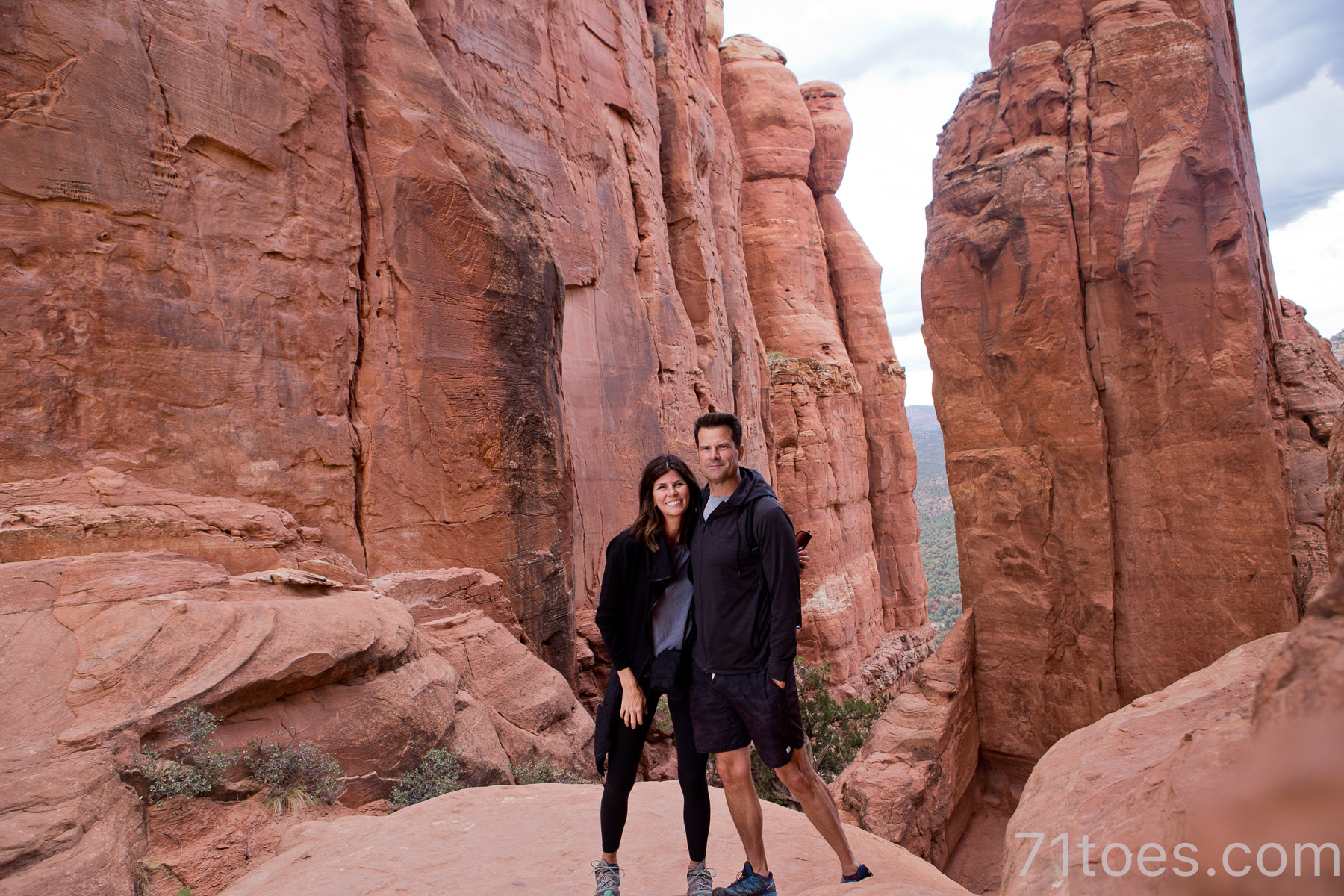
Sedona is one of my all-time favorite places, complete with energy vortexes amidst the towering red rocks.
And it is such a short drive (approx. two hours) from the big city.
I adore it.
I went with Dave back HERE.
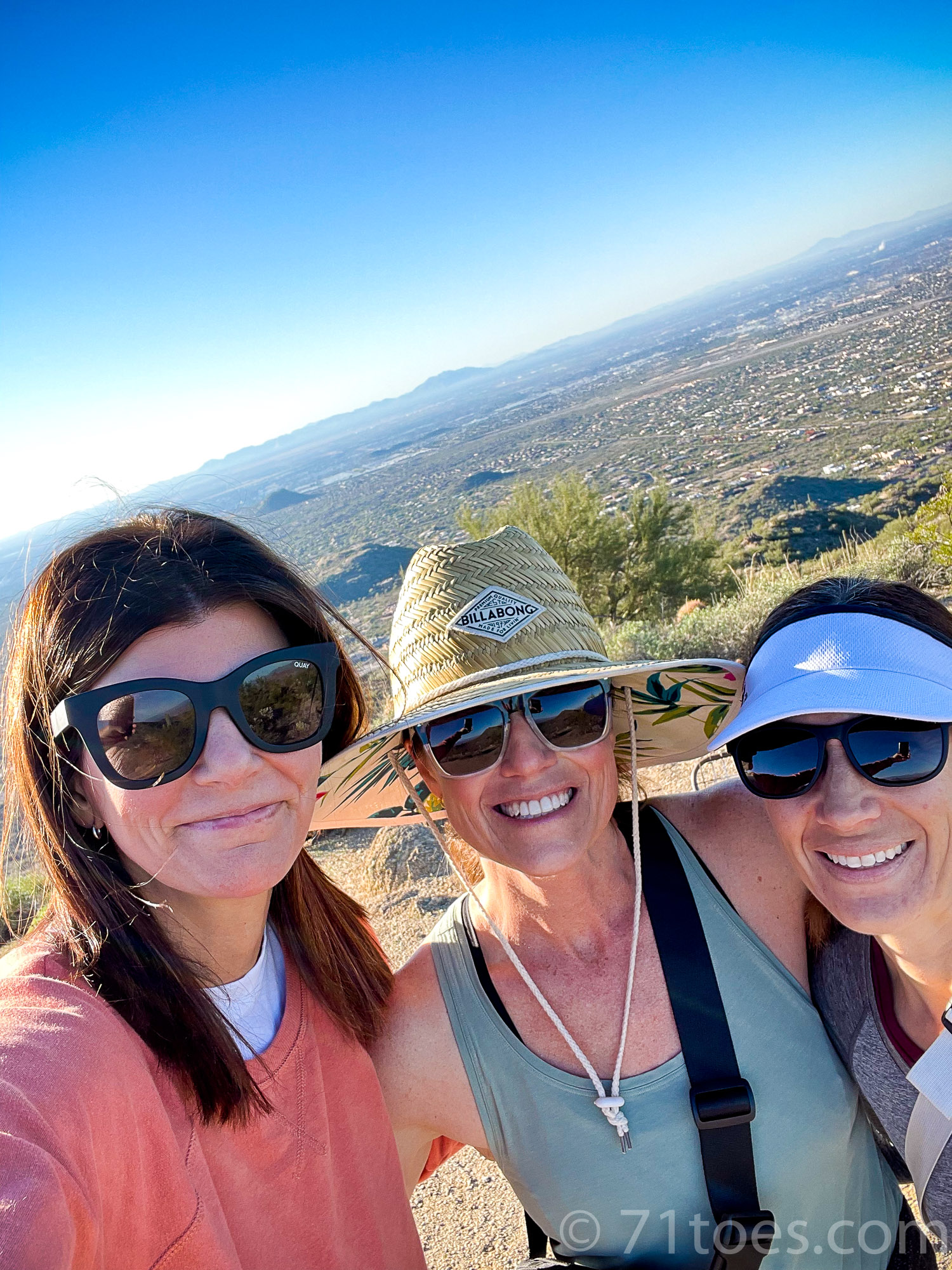
And then I felt compelled to take my sisters back over HERE.
(The “hiking guides” to the hikes we did there are in those links.)
And of course, if you’re going to hike in the desert, we can’t overlook hiking…
The Grand Canyon
The mother of all desert hikes.
We hiked “rim to rim” (South to North) a few years ago and it is an incredible way to spend a day I tell you!
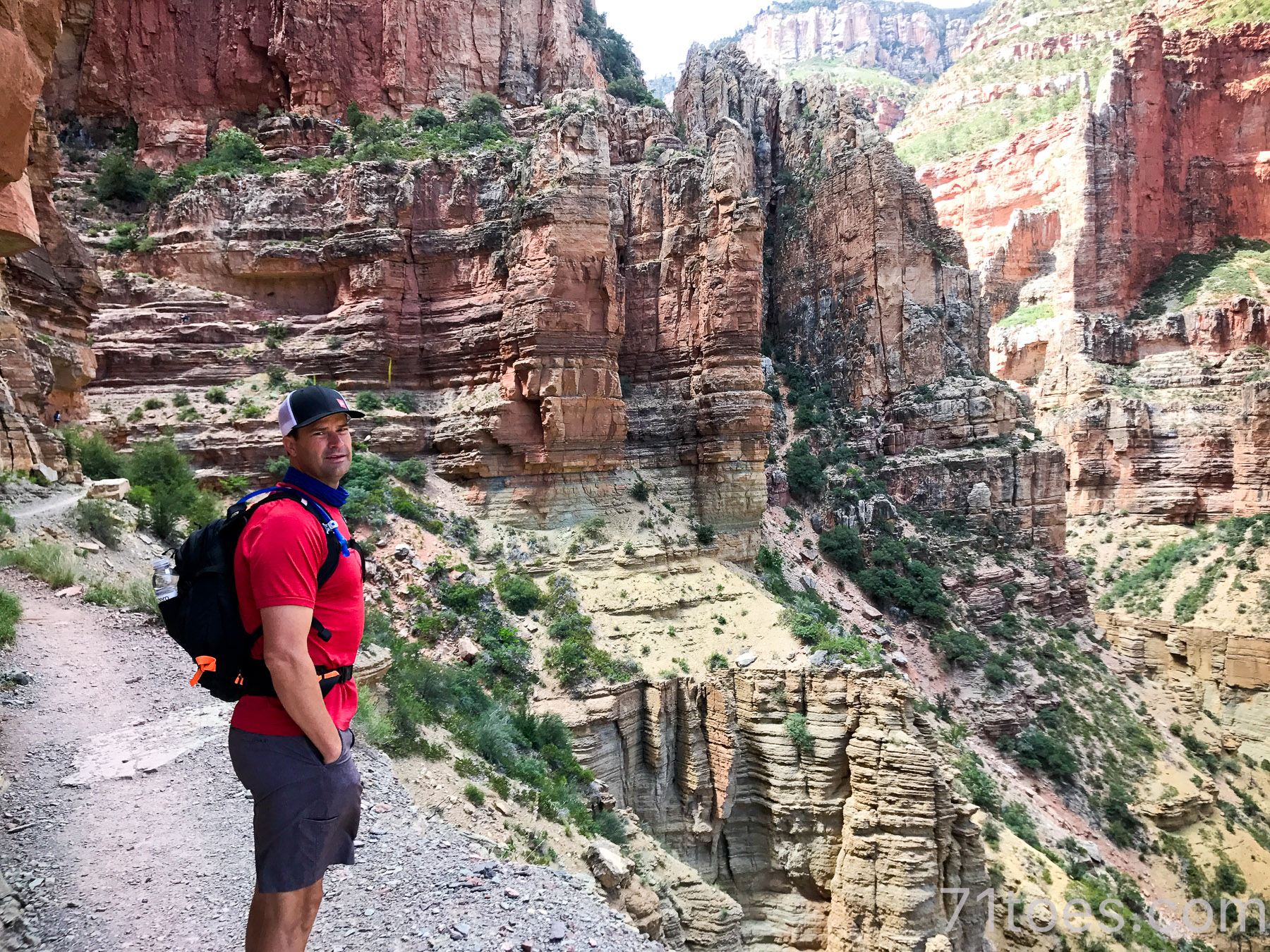
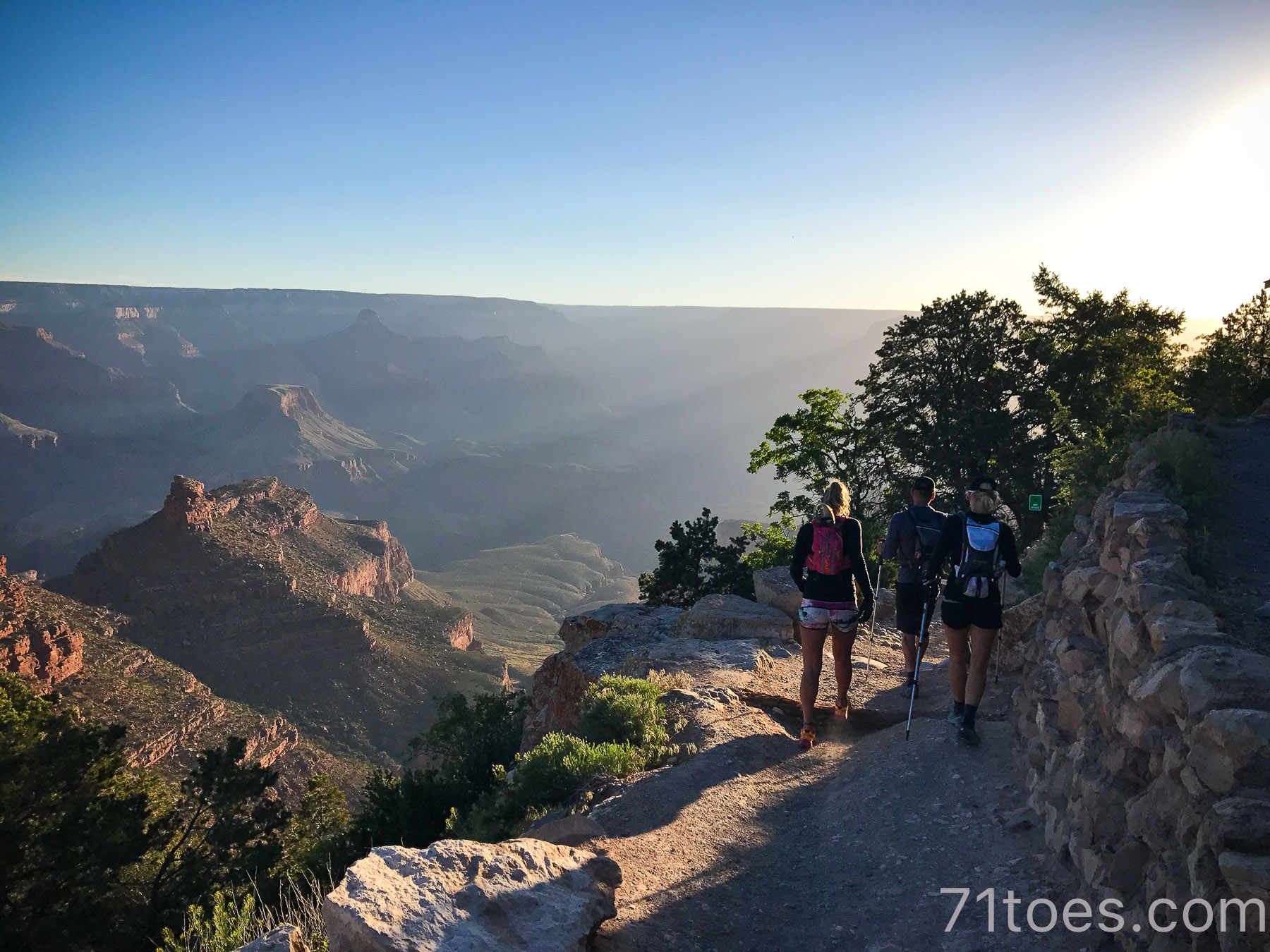
All about that hike back HERE.
Thank you for such fabulous tips and beautiful pictures of your family and nature… magnificent. I see you hiking everywhere and enjoying . Have you ever seen snakes ( super scared here) and was wondering about season to season changes and their “sightings”. I as well wondered about what safety practices are in place for “ in the event of” a snake bite… or other types of emergency situation. I think about first responders and their ability to reach you as well. Do you take a cell? Do you leave information with a family member/ friend as to where you are going…. Time of beginning / end of hike for “ in the event of an emergency”? Being from the North ( Winter is So Cold here) hiking opportunities are not near me.
We go to Scottsdale every March for a Cardiology Meeting ( my husband is a Cardiologist hence the need to be a “ preventative gal” over here). He speaks at these meetings and I see the Hyatt at GaineyRanch has hikes to sign up for and I am a runner so I think I could do these ( maybe)…. Your details of these hikes really has always peaked my interest and maybe next month I will go for it.
I adore your blog and your writing. Your Photography is stunning and says it’s own story. The positive and the light I find here. Thank you so very much for sharing. Take care.
Hey Cindy – I can help answer some of your questions. I’m not an expert – just sharing some things I’ve learned.
Snakes enter brumation during the colder months and tend to come out on sunnier, warmer days in the Spring. Snakes tend to be shy and will only bite if they feel threatened or provoked (or to eat prey). It’s always good practice to be mindful where you’re placing your hands and feet, especially when stepping over large rocks or tree stumps. If you are bitten by a snake, always seek medical care – whether venomous or non-venomous. If possible try to get a picture of the snake or remember what it looked like for ID. Do not apply a tourniquet, attempt to suck the venom out, or take any medicine. Keep the injury below your heart – do not elevate. A cold compress may help with any pain.
It’s always good practice to let someone know where you’ll be hiking and what time you expect to be back. Carrying a first aid kit and plenty of water are also good ways to stay safe. You can take a basic wilderness first aid class if that will help you feel more comfortable. Hope that helps a little!
Hi Cindy! Good questions. Out of all my years of hiking in the desert (20+ of them), I have only seen one snake. It was a rattlesnake but was back in the bushes and wasn’t an immediate threat. That being said, I know there are snakes and care should be taken for sure. Mary Kate has some great advice (thanks Mary Kate!). I always hike with friends and feel quite safe. It is always important to be alert and aware, not only of snakes or other animals but of loose or slippery rocks, but also, can’t live in fear you know? Life is meant to be lived and experienced at its fullest in my opinion so I love getting out there.
You should join the hikes next month! I hope you like them! You’ll have to let me know if you find some other great hikes to add to my list from Scottsdale!
xoxo
Thank you so much for this, Shawni! You put in a lot of effort and I appreciate it and will use it as reference in the future. We are a long way from Phoenix and indeed, it is VERY lush where we are (isn’t the earth amazing that there is such diversity?). We loved Arizona when we visited a few years ago but the heat just about knocked my socks off. The locals were sporting jeans and my non-acclimatized self thought I might just perish in my shorts and sandals. Ha! Next time we will spend longer so we, too, can get used to it. And then we will tackle these beautiful hikes!
You need to come in the winter! That’s when the glory is around here I have to say. Summers are so awful I try to stay away as much as I can:)
Shawni thank you so, so much for putting this together. We just moved here not too long ago and I’m really looking forward to trying some of these.
You were reading my mind with this post. I just recently moved to the area and have hiked some of those but wanted to check out some more. Thanks so much for this.
Great pix.
Just curious, what is the hottest temperature that you’ve hiked in & how did you cope?
When you take dogs do you take a bowl & an extra bottle of water for them?
Hmmm, I’m not sure about the hottest temperature. I really hate hiking in the summer here so hiking season for me is really when the heat is more manageable (it’s still SO HOT even at night here in the summer). But Dave and I have done Camelback for our anniversary a couple times and although it gets over 100 degrees in June (our anniversary month), if you hike super early in the morning it’s do-able.
Love it. Thank you!!
Have you hike the wave in vermillion cliffs monument? We just won the lottery and got a permit. I’m so excited and a bit nervous because of all the “not trail” warnings
Oh I’ve wanted to do that one forever! Come back and tell me how it was if you remember, I would LOVE to go!